Faroe Islands Travel Guide: 25+ Essential Facts, Best Places to Visit & Travel Tips
I recall poring over classroom maps as a kid, chasing that unlabeled land tucked between Norway and Iceland — a smudge nobody in the room could name. That childhood fascination stuck with me long after geography class ended, and it’s part of why I keep circling back to the Faroe Islands whenever the subject of underrated corners of Europe comes up. There’s a nostalgic framing that colors most people’s first encounter with this place — it rarely shows up as the destination, always as the mystery next to one.
Fast forward to somebody planning a Copenhagen-based trip north — Greenland gets floated first, since technically it counts as a domestic destination once you’re already inside the Kingdom of Denmark. But high airfare and a surprising amount of low local awareness about Greenland flights made that plan impractical inside a tight timeframe, which is exactly the kind of detour that quietly redirects travelers toward the Faroe Islands instead.
Zoom out to 2021 and the conversation shifts entirely — that year marked the 300th anniversary of Danish colonization, a milestone that pushed scholars to revisit colonial legacies across every corner of the North Atlantic. Researchers began treating Greenland and the Faroe Islands as parallel case studies of Denmark’s autonomous territories, examining both through a postcolonial lens rather than the tidy textbook version most of us grew up with.
That scholarly framing sits oddly next to the archipelago’s own self-image. The Faroe Islands function as an overseas division and self-governing outpost of Denmark, yet outsiders still lump them in loosely with the Shetland Islands or treat the whole cluster as one interchangeable Danish territory — proof that even now, this remains an under-discussed place worth more careful attention than a single paragraph in a personal travel diary usually gives it.
Location & Geography
Geographically, the Faroe Islands sit in open North Atlantic water, roughly equidistant from Iceland and mainland Denmark, closer to Shetland than most people assume. Locals call the place Føroyar, and the cluster totals 17 inhabited islands scattered among countless islets and reefs, most of them barely a dot on any standard map.
There’s a persistent misconception that this counts as some appendage of Scotland — it doesn’t. Streymoy carries the capital, Tórshavn, and the whole land area works out to roughly 540 sq mi, or 1,399 sq km if you’re working in metric, a footprint smaller than plenty of single American counties yet packed with more coastline drama than most countries manage.
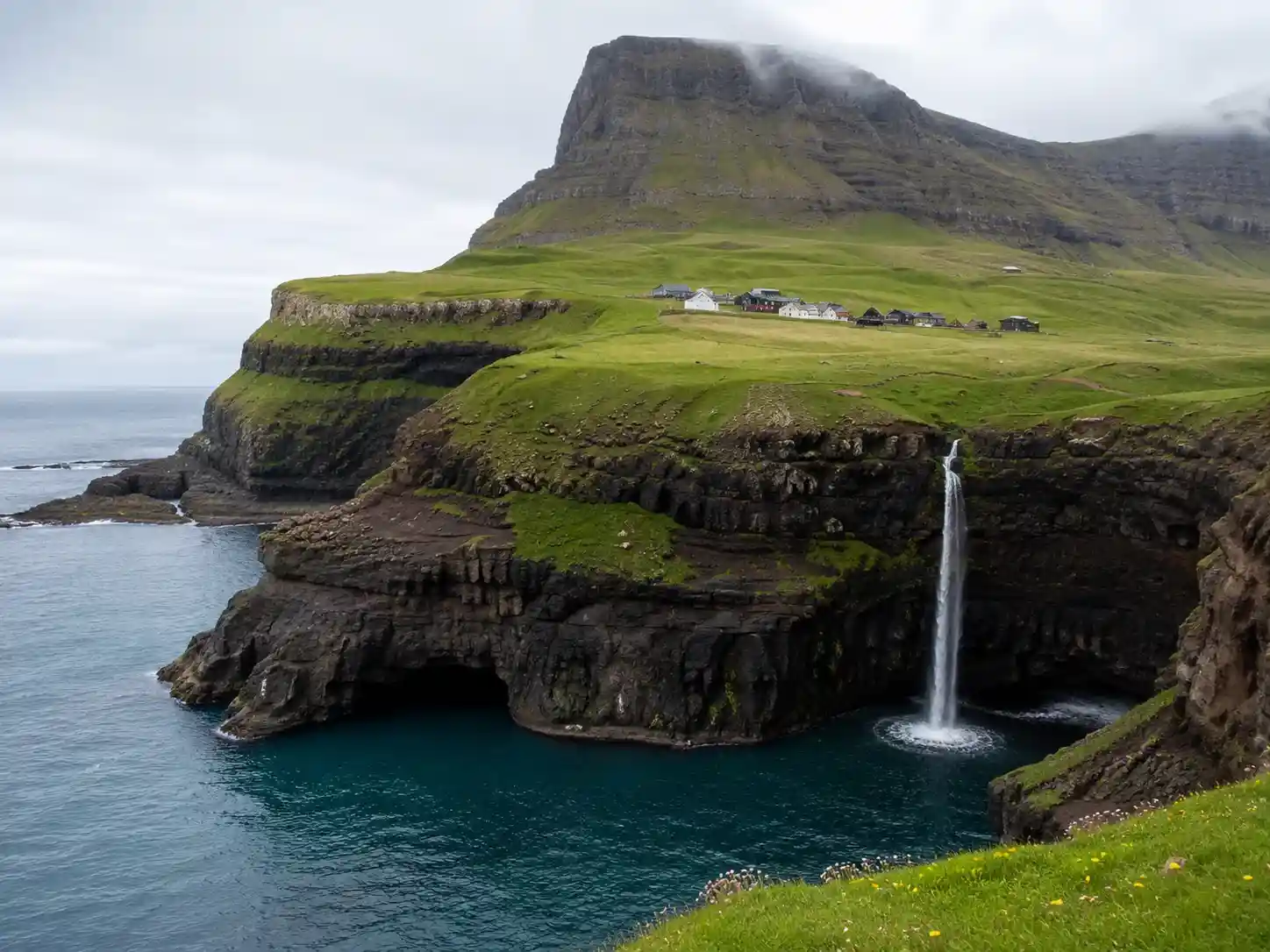
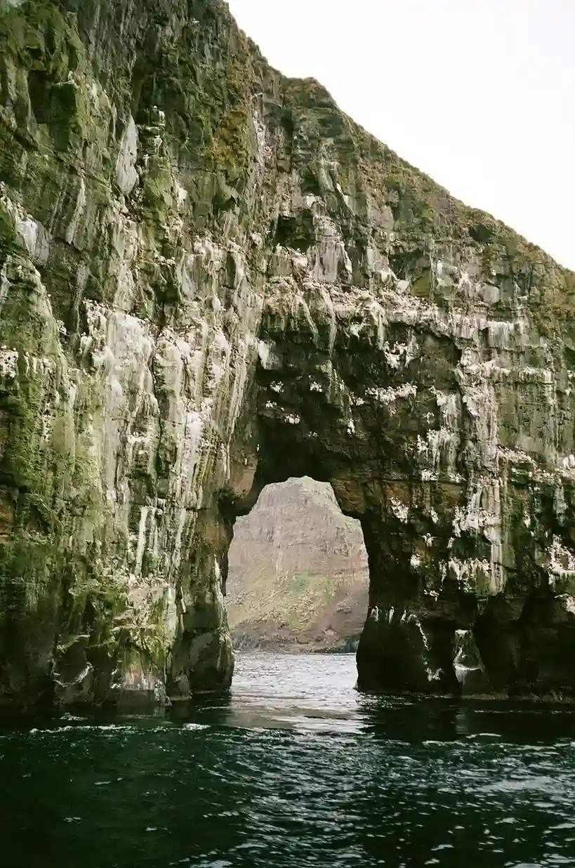
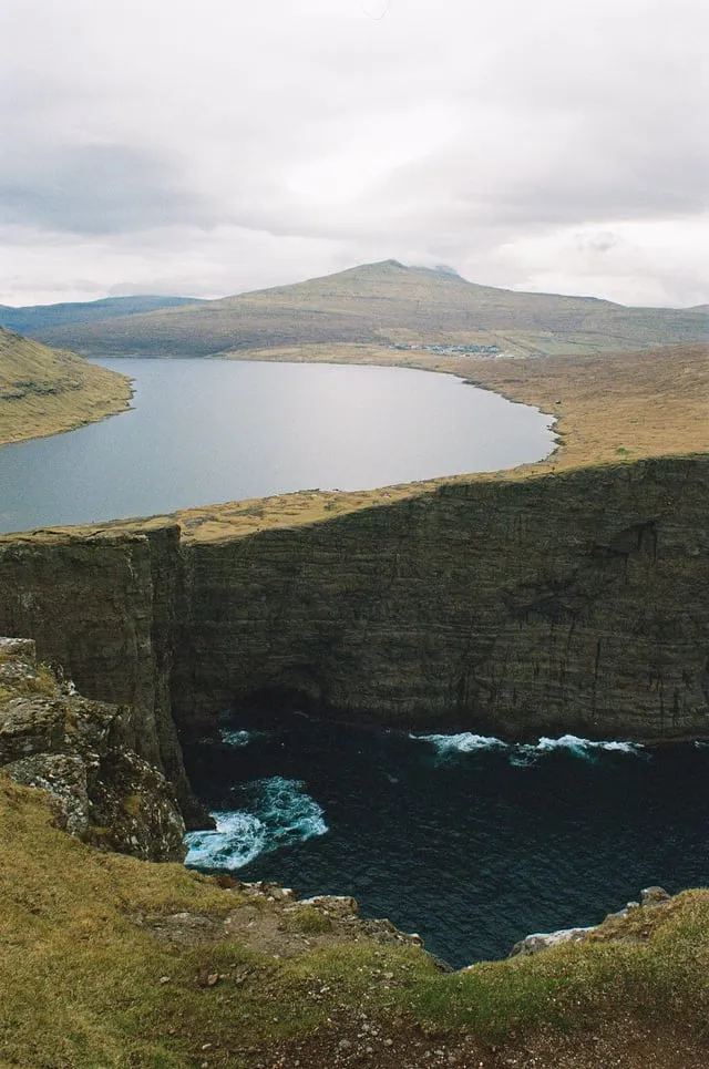
The terrain itself tells a volcanic story: black volcanic rock, thin layers of moraine and peat soil, everything rugged and folded into sheer cliffs that drop straight into the sea. National Geographic has called these dreamlike islands among the most photogenic on Earth, and anyone who’s stood at the edge of one of those fjords understands why that description sticks.
Strong tidal currents rip through the narrow channels between islands, which locals navigate with a confidence that still unnerves first-time visitors. And despite sitting under Danish territory administratively, the islands keep their own flag flying and even send athletes to the Olympics separately from Denmark — small details that say more about Faroese identity than the folklore behind Sheep Islands naming ever could. Greenland sits not far off on the map too, another reminder of how tightly the North Atlantic knits these Danish holdings together.
Climate & Natural Environment
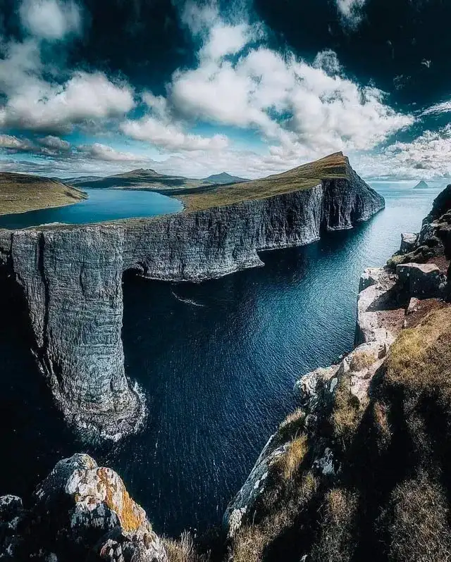
The oceanic climate here runs mild rather than harsh — mild climate, minimal temperature swings, and a level of fog and rain that becomes background noise within about a day of arrival. Annual precipitation lands around 60 inches, or 1,600 mm, numbers that sound extreme on paper but translate to a kind of constant misty drizzle rather than dramatic storms.
Credit the warm North Atlantic Current for keeping ice-free harbors year-round despite the latitude, while prevailing westerly winds push weather systems through fast enough that conditions can flip within the hour. Vegetation across the islands stays mostly treeless — moss, grass, and mountain bog dominate the landscape instead of forest, a direct result of cool summers and relentless strong winds.
Where hardy trees do survive, they’re tucked into sheltered spots, usually valley pockets shielded from the gales. The islands never developed much in the way of native land mammals — no toads, no reptiles, nothing indigenous roaming the hills. What you do find — hares, rats, and mice — arrived as stowaways on ships centuries ago, not as original residents.
What the Faroes lack in native mammals, they make up for in seabirds. Puffins nest by the thousands along the cliffs, and eiders have long been valued locally for their feathers, a small but telling detail about how closely Faroese life has always stayed tied to what the coastline provides.
History
The written record starts early — the name Faereyiar shows up around 1225, and long before that, Irish monks are credited with first reaching what later folklore dubbed the Sheep Islands, somewhere near 700 AD. Vikings followed around 800 AD, and the islands were Christianized under a Norwegian king close to 1000 AD, formally becoming a Norwegian province by 1035.
Denmark entered the picture in 1380, though the islands stayed administratively separated from Norway proper until 1709, after which a Danish royal trade monopoly clamped down hard on economic growth for generations. Things loosened by the 19th century, when a Faroese oral literature revival — pushed along by scholars like V. U. Hammershaimb, who standardized written Faroese — fed directly into a growing nationalist movement. The old Løgting parliament was restored in 1852, and the trade monopoly itself finally collapsed in 1856.
Political organizing picked up speed after that: the Home Rule Party formed in 1906, and everything accelerated once WWII hit — Britain stepped in while Germany occupied Denmark, and that wartime gap hardened home-rule sentiment into something harder to walk back. Self-government arrived formally in 1948, bringing the islands their own flag and currency, the króna, along with equal status for the Faroese language alongside Danish.
Talk of full independence has never fully gone away — by 1999 negotiations were underway, complicated by an annual payment from Denmark worth roughly 1 billion DKK, close to half of total export earnings. Scholars like Kočí and Baar have since folded all of this into postcolonial analysis, comparing it against Greenland’s experience of Danish rule and its own outsized strategic significance in the Arctic, arguing Greenland faces sharper risk of external economic exploitation than the Faroes ever have.
Political Status & Government
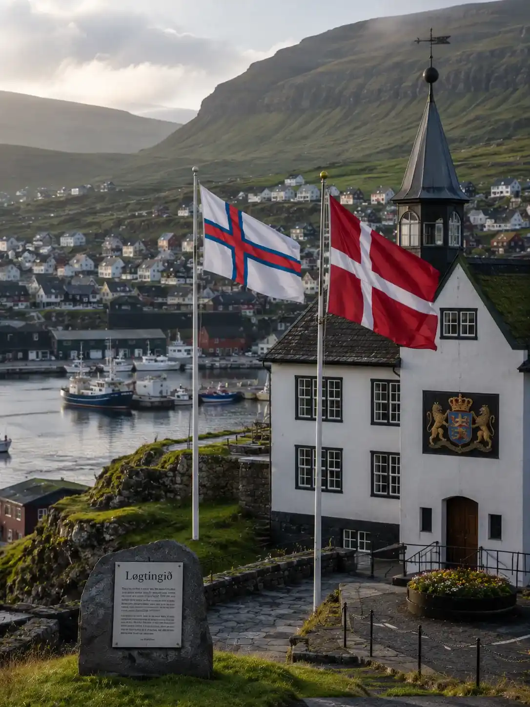
Politically, the simplest way to describe the Faroe Islands is as a self-governing autonomous territory sitting inside the Kingdom of Denmark — technically an overseas administrative division, though that phrase undersells how much day-to-day control the islands actually hold over their own affairs.
Compare that to Greenland, which occupies a similar structural spot but carries far more weight geopolitically, and you start to see why Danish planners sometimes treat the Faroes almost like a domestic destination rather than a separate country — close enough administratively, distant enough in practice.
That level of autonomy is exactly what academics have started mapping through a postcolonial theoretical framework, treating Faroese self-rule as a case study rather than a footnote.
Economy
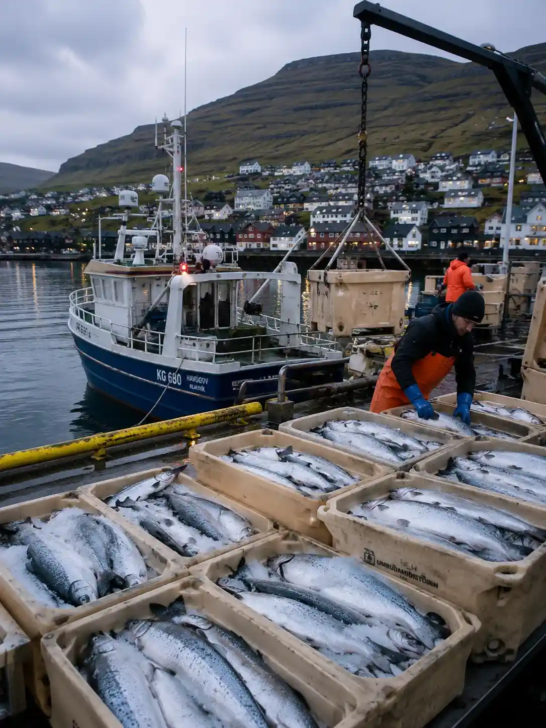
Everything about the Faroese economy circles back to the water. Fishing culture isn’t a tourism talking point here — it’s the actual backbone of daily life, and Faroese salmon in particular has built a reputation abroad that punches well above the islands’ tiny population.
Seafood exports alone account for something like 95% of everything the islands sell abroad, a concentration that would look reckless anywhere else but here reads as simple realism about what the land and sea actually offer.
People
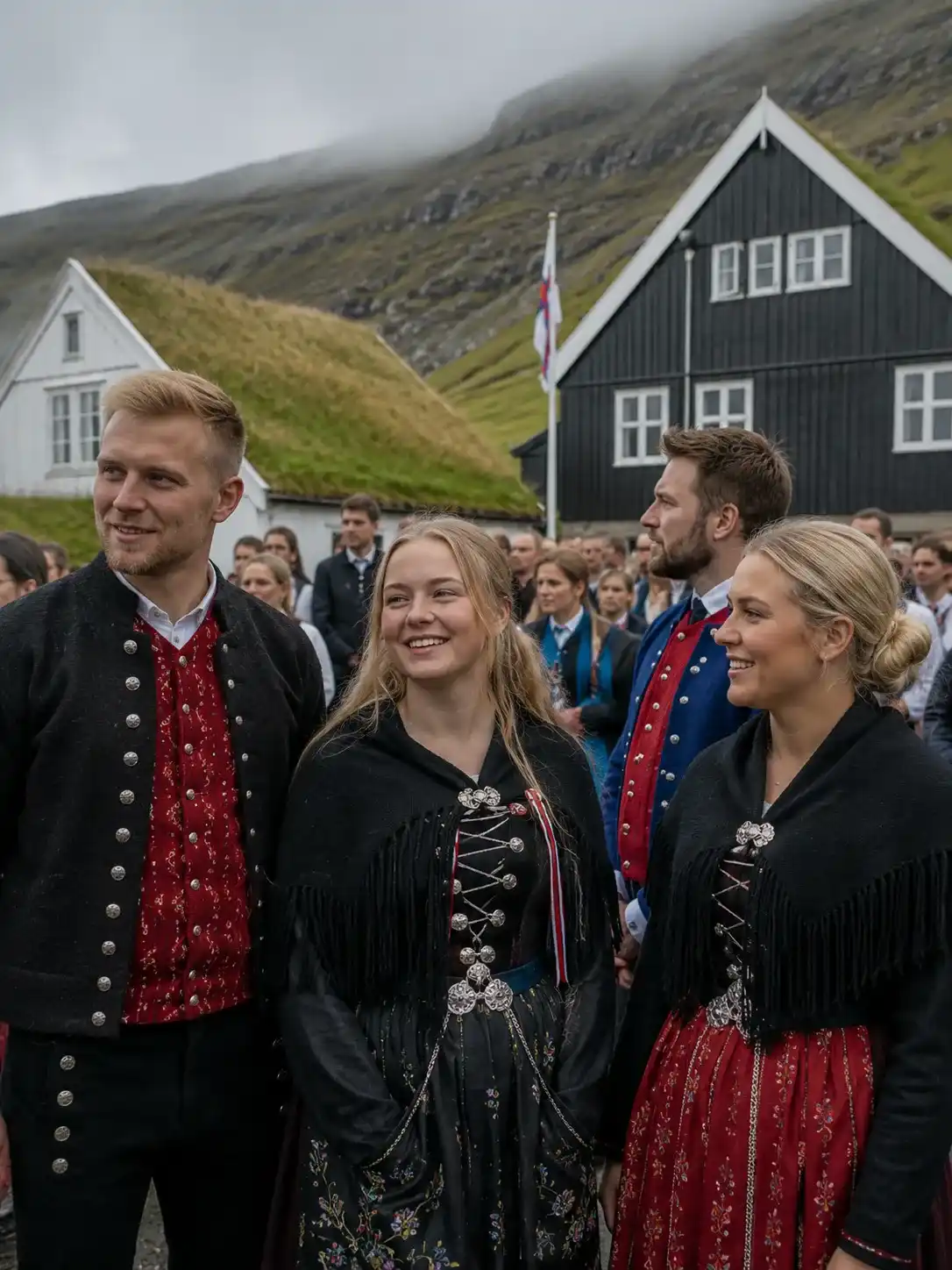
The people themselves trace back to Norwegian Vikings who colonized the islands around 800 AD, arriving from a Scandinavian origin that still shows up clearly in Faroese names, faces, and habits today.
That lineage hasn’t diluted much over the centuries — isolation tends to preserve things, and the modern Faroese population still carries a strong sense of connection to those original Norse settlers rather than to Denmark proper.
Quick facts / At a Glance
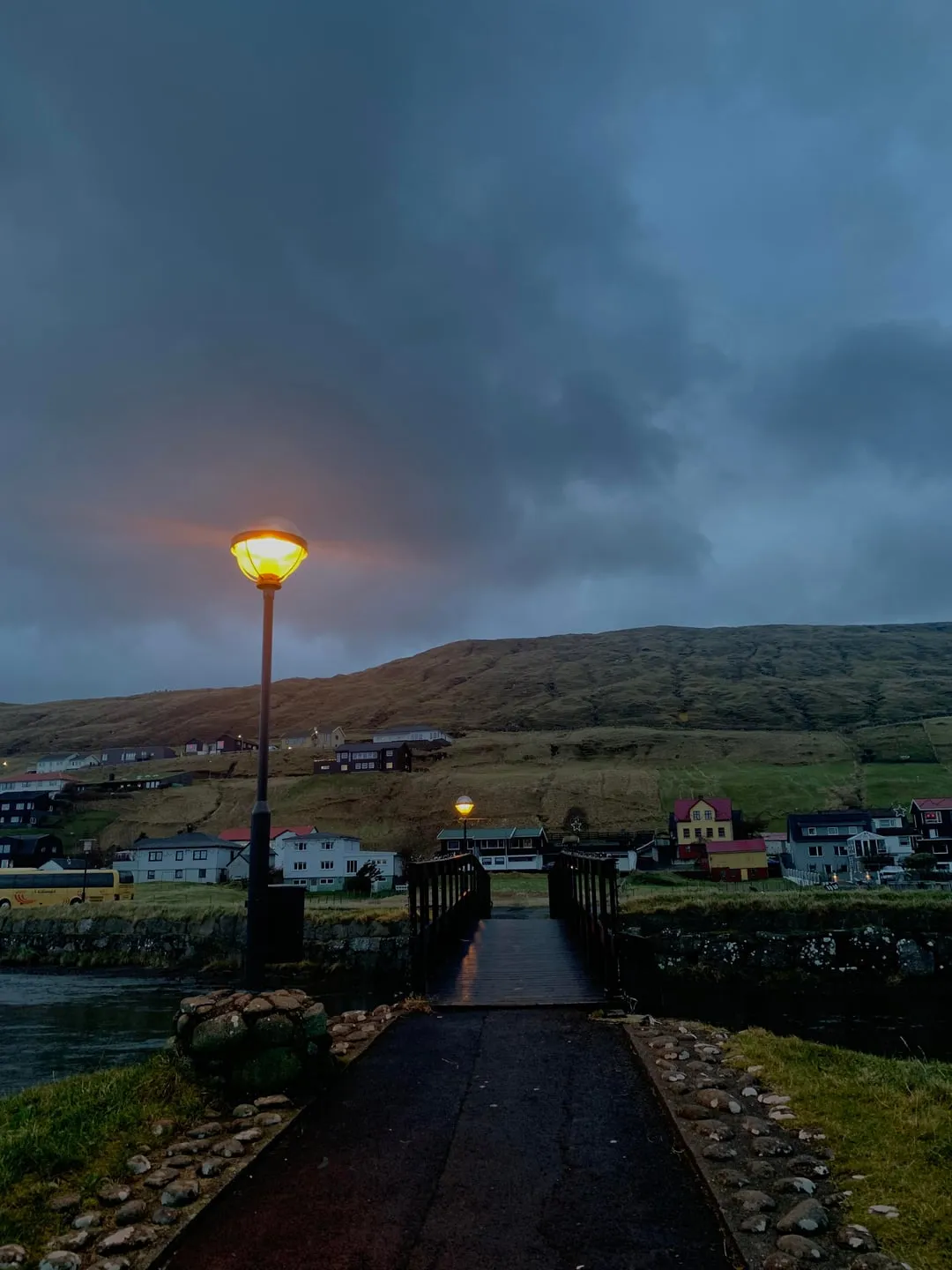
For a quick snapshot: population sits around 54,900 by 2025 estimate, a number small enough that most locals genuinely do seem to know each other, or at least know someone who does.
The capital anchors Streymoy, the most populated of the main islands, while Eysturoy sits close by, connected via tunnel rather than ferry these days.
Beyond those two, Vágar hosts the international airport, and Suðuroy sits furthest south, feeling noticeably more remote than the central cluster even by Faroese standards.
Round out the map with Sandoy, Borðoy, and Svínoy, each smaller and quieter, the kind of islands that rarely make it into a first-time visitor’s itinerary but reward anyone who bothers to detour.
Flag design & symbolism
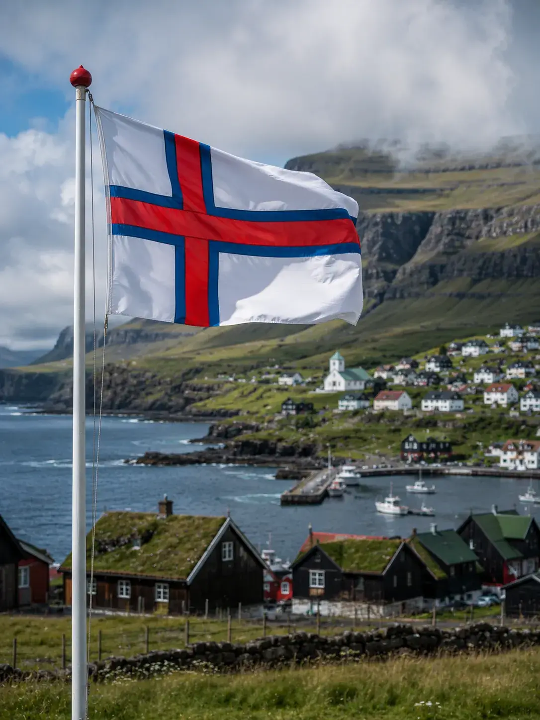
The Faroese flag follows the same basic template as other Nordic flags — a cross design, borrowed conceptually from Norway, Iceland, and Denmark alike, though the color choices make it unmistakably its own.
Blue and red sit against a white background, and that white isn’t decorative filler — it’s meant to evoke sea foam and open sky, a fitting visual shorthand for an archipelago defined almost entirely by its coastline and weather.
The design dates to 1919, credited to Jens Oliver Lisberg, a student working in Copenhagen at the time rather than someone commissioned officially by any government body.
What’s notable is how long it took for that flag to gain formal recognition, and how much symbolic weight it still carries locally — flown with a seriousness that outsiders sometimes underestimate until they’ve spent time on the islands themselves.
Getting there
Vágar Airport, code FAE, functions as the main gateway for anyone flying in, and it’s worth setting expectations early — this is a small airport, not a hub, and it looks the part.
Limited flights connect in from a handful of European cities beyond the obvious Copenhagen route, so booking flexibility matters more here than on most European trips.
Don’t expect much once you land, either — few amenities, minimal shopping, no sprawling terminal to kill time in, just a quick, efficient exit toward the rest of the islands.
Getting around
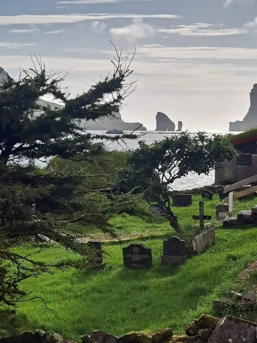
There are no trains anywhere in the Faroe Islands, so ground transport options start and end with roads and ferries — a detail that surprises visitors used to rail-connected Europe.
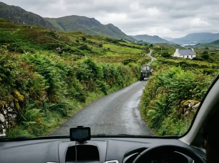
From the airport, it’s roughly 50 km to Tórshavn, and most people either rent a car for full flexibility or lean on organized tours if they’d rather not navigate the tunnels and switchbacks themselves.
Local buses fill the gap for budget travelers, running between the main settlements reliably enough, even if the schedule takes some getting used to on a first visit.
Top attractions
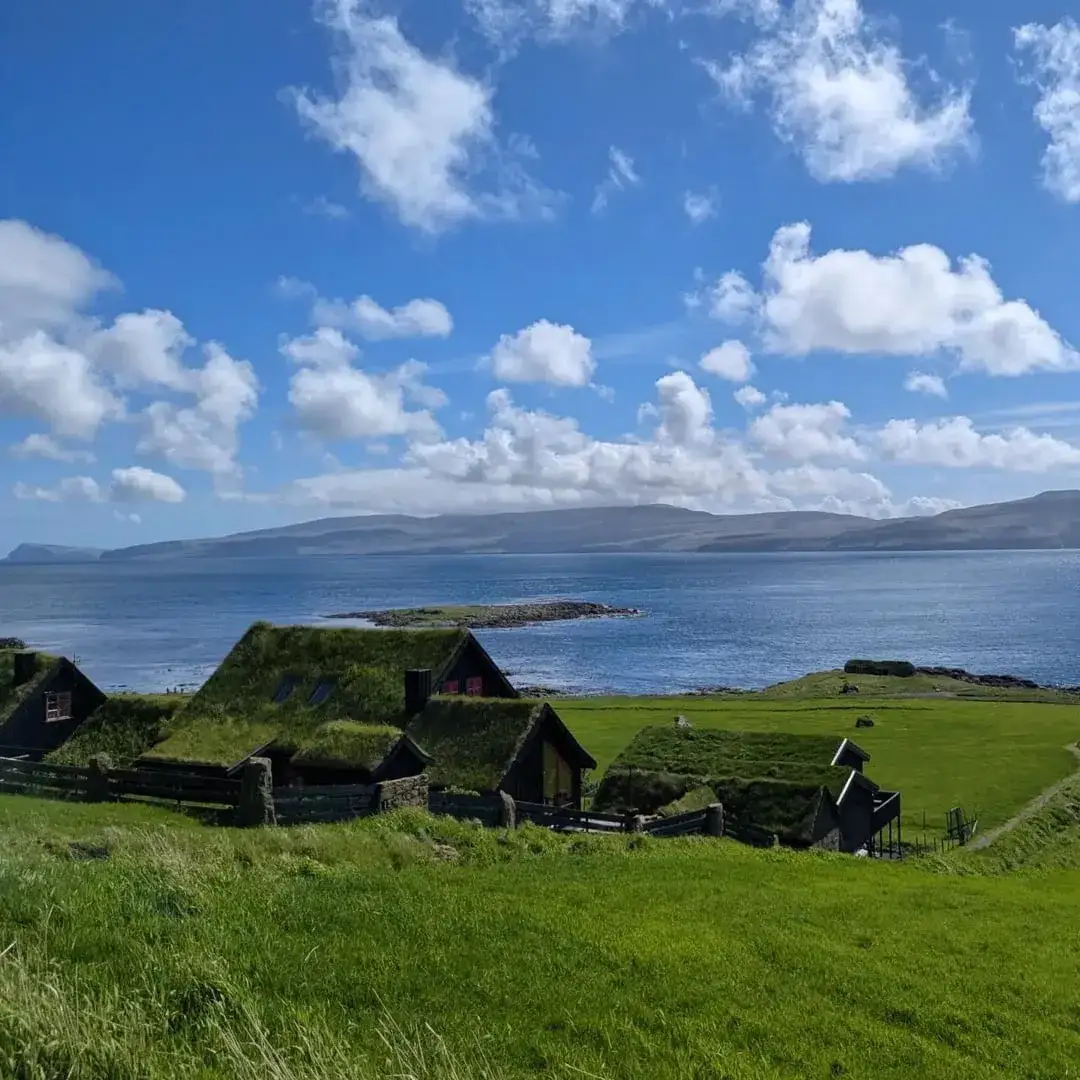
Trælanípa tops most lists for good reason — a dramatic cliff and lake viewpoint that delivers some of the best sunset views in the North Atlantic, close enough to the airport that it’s an easy first stop.
The Eysturoy Tunnel deserves its own mention purely for novelty — an undersea tunnel featuring the world’s only undersea roundabout, complete with ambient lighting, an automatic toll charged through a license-plate camera, and, oddly, its own in-tunnel radio station piped through speakers as you drive.
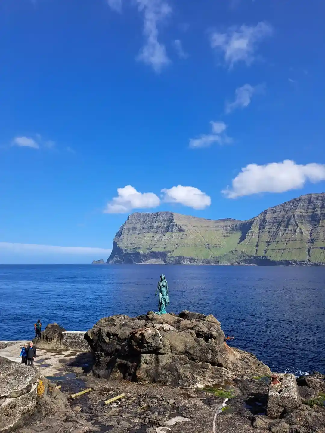
Kalsoy Island pulls in visitors chasing the so-called James Bond’s Grave, a filming location tied to a 007 film’s closing scene, along with a separate mermaid statue elsewhere on the same island — though the logistics of reaching both by ferry, bus, and hike in a single day trip up tighter than most itineraries account for.
Beyond the marquee spots, it’s the everyday scenery that sticks — sheer cliffs, grazing sheep, wheeling puffins, and coastal waterfalls tumbling straight into the sea, all under changeable weather that can swing from downpour to clear sky in under 30 minutes.
Souvenirs
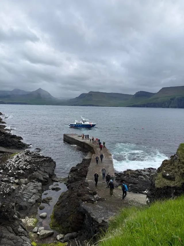
Shopping-wise, keep it simple — local beer travels well and makes an easy gift, and if you’re into music, a CD from Týr, the well-known Faroese metal band, is a more distinctive pick than anything mass-produced.
A basic T-shirt from the airport rounds things out nicely for anyone who just wants proof they made it out to one of the more remote corners of Europe.
Food note
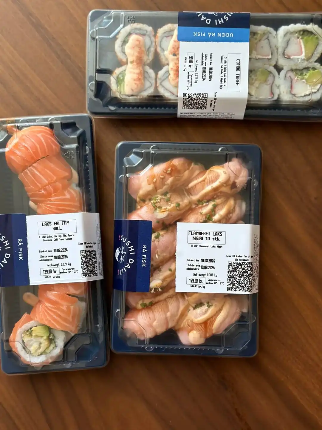
One thing worth flagging for food-curious tourists: puffin dishes, once part of the local diet, have become no longer common on menus.
Ask around at restaurants and you’ll mostly get polite shrugs — it’s less a hidden delicacy these days and more a fading tradition that doesn’t really show up for visitors anymore.
Closing comparison
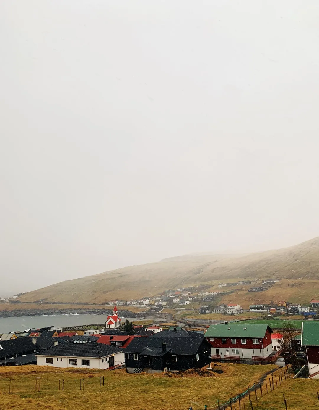
The dramatic terrain here draws constant comparisons to Iceland, and it’s not hard to see why — volcanic black cliffs dominate the coastline in a way that feels almost identical at a glance.
That resemblance has made the islands a favorite filming backdrop for anything needing end of the world scenery, a reputation the Faroes seem entirely comfortable leaning into.
Postcolonial theoretical framework
Academic interest in Denmark’s relationship with its territories has grown steadily, with postcolonial theory offering a lens researchers didn’t apply seriously until fairly recently.
Both Greenland and the Faroe Islands get folded into this conversation, examined for patterns of dependency, shared colonial history, and divergent paths of political development since gaining self-rule.
The resulting academic framework treats these territories less as historical footnotes and more as live case studies in how autonomy actually functions under a modern monarchy.
Comparative findings
When researchers stack the two postcolonial experience up against each other, Greenland comes out carrying the heavier burden, largely because of its Arctic strategic importance on the world stage.
That importance itself becomes a risk factor, since outside powers have far more incentive toward external economic exploitation in Greenland than they’d ever have reason to pursue in the smaller, less strategically loaded Faroe Islands.