Azores Islands Travel Guide 2026: 25 Amazing Things to Do, Best Islands, Food & Travel Tips
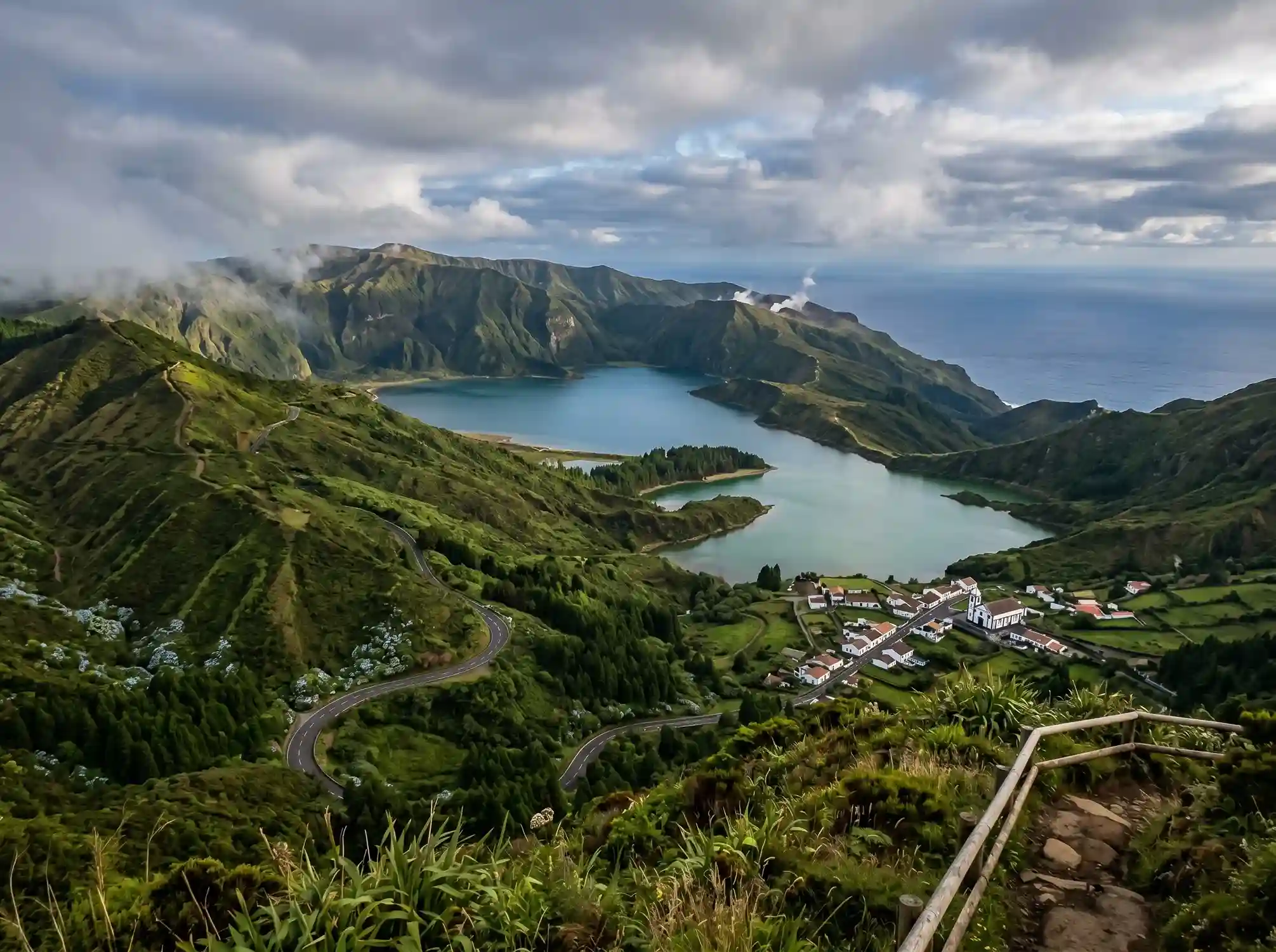
Most people picture Portugal as cobblestone streets and port wine cellars, but tucked out into the Atlantic Ocean, where the North American plate, the Eurasian plate, and the African plate quietly grind against each other, sits a cluster of land most travelers have never bothered to find on a map. The Azores — or Açores, if you want the proper pronunciation, with its soft, hissing rhythm — are a Portuguese archipelago of nine volcanic islands rising out of the North Atlantic, closer to Boston by plane than most people assume and a world apart from Lisbon in feel, even though Lisbon sits roughly 1643 km away and Boston about 3618 km in the other direction. I’ve made that four-hour flight myself more than once, and it never stops feeling like stepping through a door into somewhere that runs on its own clock. The islands straddle the Mid-Atlantic Ridge, stretched across roughly 600 km of open water between the American continent and the European continent, with individual islands ranging from a modest 17 km² up to nearly 750 km² — small worlds, each with its own gravity, starting with Santa Maria, the oldest of the nine, sitting quietly off to the southeast.
What ties this nine-island chain together is less the geography — though the geothermal activity, the volcanic activity, and roughly 36 million years of restless earth beneath everyone’s feet certainly shape daily life — and more a shared sense of identity locals will happily explain over coffee. Officially, this is the Autonomous Region of the Azores, a Portuguese autonomous region with its own independent political system and administrative system, sitting inside the European Union as an ultraperipheral region rather than just another stretch of mainland Portugal. Spend time here and you’ll notice the history, the ethnography, and the culture all pull in slightly different directions from island to island — there are similarities that make you certain you’re still in the same country, and differences sharp enough to remind you each island grew up on its own. São Miguel anchors things with its lagoons and quiet natural beauty; the Central Group islands trade in whales, historic towns, and rolling vineyards; the Western Group closes things out far into the North Atlantic with dramatic waterfalls and enough bird life to keep any birdwatcher occupied for a week. Add the local food culture, the unhurried friendliness of people you’ll meet at the bakery, and black-sand beaches that look nothing like a postcard of the Algarve, and you start to understand why this Portuguese archipelago rewards slowing down instead of rushing through it like a checklist.
Geography of the Azores
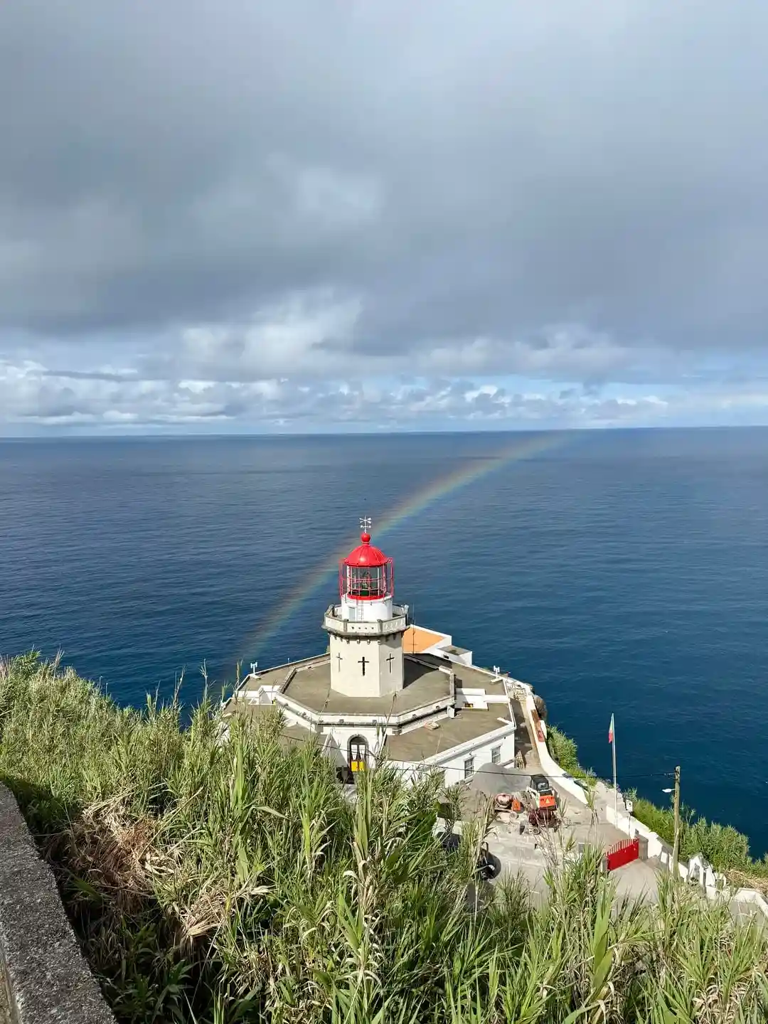
Zoom in geographically and the 9-island volcanic archipelago starts making more sense. The whole chain sits roughly 1360 km — call it 850 miles — off the coast, anchored to the same Mid-Atlantic Ridge that splits the seafloor between the North American plate, the Eurasian plate, and the African plate. That tectonic tug-of-war among the tectonic plates has been going on for something like 36 million years, and you can read the volcanic history written into the landscape itself: 16 polygenetic volcanoes, scattered caldera lakes, and a coastline that’s still settling. Pico, the youngest island and also the tallest island, carries Mount Pico at 2570 meters (about 7713 feet) — I’d call the four-mile hike up more of a scramble than a stroll, and most guides will warn you it’s a genuinely difficult hike, not a casual afternoon outing. At the other end of the timeline sits Santa Maria, the oldest island, while São Miguel holds the Furnas Volcano Caldera, dated back some 34000 years, and Faial’s Capelinhos volcano erupted as recently as the 1957 eruption — proof this place is still very much alive underfoot.
Geographically, the islands also share a latitude band close enough to New York that locals joke about it, which explains why summer daylight can stretch until almost 9 PM in peak season under a subtropical climate that leans temperate climate more often than not — temperature swings rarely move more than 10-15 degrees Fahrenheit between a winter low and a summer high. Despite holding nine volcanic islands worth of land, only about 5 percent counts as developed land, and roughly 10 percent of the total mass actually sits above water, the rest hidden beneath the North Atlantic Ocean. Mainland Portugal feels distant out here, and so does most of the planet: drift roughly 120 km east of Flores and Corvo and you reach the deep-sea hydrothermal fields of Lucky Strike and Menez Gwen, two of the stranger geological footnotes most visitors never hear about, despite how much they reveal about what’s happening far below the surface.
History of the Azores
History-wise, credit usually goes to the navigator Diogo de Silves, who’s generally said to have discovered Santa Maria and São Miguel around 1427 — though actual settlement by sailors and farmers from mainland Portugal didn’t really take hold until 1439, once people decided the volcanic activity that had founded these islands in the first place wasn’t reason enough to stay away. What followed was nearly six centuries of continuous human presence, through the 1600s, when Portugal found itself at war with several African nations and brought over prisoners of war to help construct islands infrastructure under brutal conditions — a chapter that still shows up today in the roughly 10 percent population with traceable African ancestry.
Because the Ice Age never reached this far out into the ocean, the islands still hold pockets of prehistoric forests that survived when most of Europe didn’t — a small ecological gift from geography. Strategically, the Age of Discoveries turned these islands into a crucial stopover for ships crossing the Atlantic, and that usefulness didn’t fade with time: both World War One and World War Two saw the archipelago pressed into service as an allied base. Today it functions as an autonomous region with its own President, and the Portuguese language spoken here has drifted into a distinct local dialect thick enough that visitors fluent in mainland Portuguese sometimes need a moment to adjust.
Autonomous Region Status
Politically, it helps to think of the Azores as self-governing in almost every practical sense — governmentally and agriculturally independent enough that locals describe their home as autonomous rather than simply Portuguese. The formal name, Autonomous Region of the Azores, isn’t just a label for tourism brochures; it reflects a genuine autonomous territory within the Portuguese Republic, complete with its own independent political system, its own administrative system, and its own President overseeing the island chain. Inside the European Union, the islands carry ultraperipheral region status, a recognition that being a Portuguese autonomous region scattered far from the mainland comes with logistical and economic realities Brussels has to account for separately.
Weather & Climate
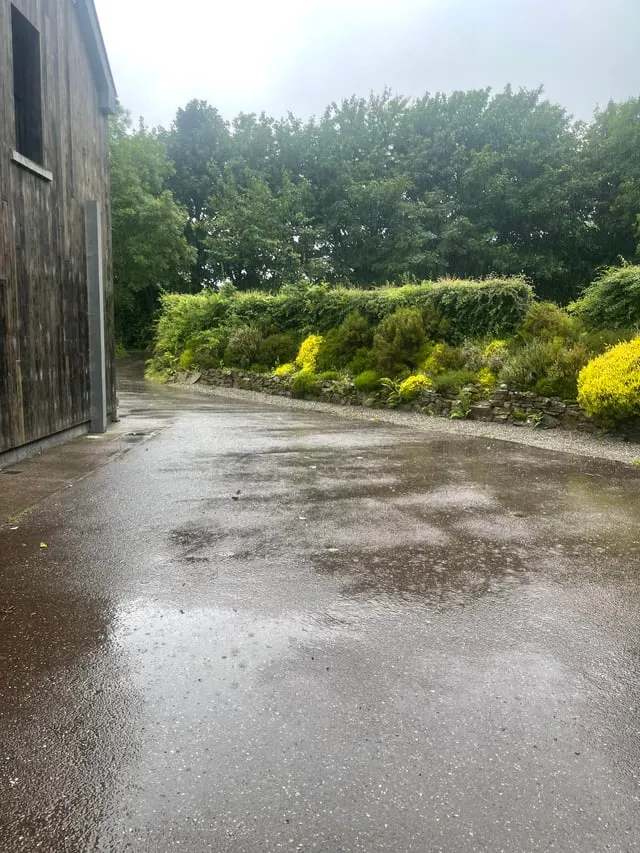
Weather-wise, don’t expect drama. Warm currents keep things hovering in a gentle subtropical climate that behaves more like a temperate climate most of the year, with average temperature sitting around 13 degrees Celsius (55 degrees Fahrenheit) in winter and climbing to roughly 24 degrees Celsius (75 degrees Fahrenheit) by summer. That kind of narrow temperature variation — rarely swinging more than 10-15 degrees Fahrenheit between seasons — surprised me the first time I checked a forecast expecting something harsher. Humidity stays fairly constant too, and despite the damp air, I never dealt with the swarms of mosquitoes I’d braced myself for.
Getting There / Travel Tips
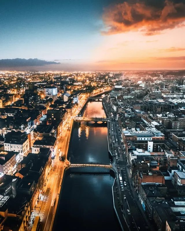
Getting here is far easier than the islands’ isolated reputation suggests. From the U.S., direct flights out of Boston and New York land on São Miguel, the main island and largest island of the group, usually as overnight flights clocking in around four hours from Boston into Ponta Delgada. From Europe, the options multiply fast — a long list of European cities including Lisbon, Porto, Funchal on Madeira, Amsterdam, Stockholm, Barcelona, Billund, Copenhagen, Dublin, Frankfurt, London, Gran Canaria, Madrid, Munich, Paris, and Oslo all run direct connections, which is more flight choice than most people expect for somewhere this remote.
UNESCO Geopark / Protected Natural Areas
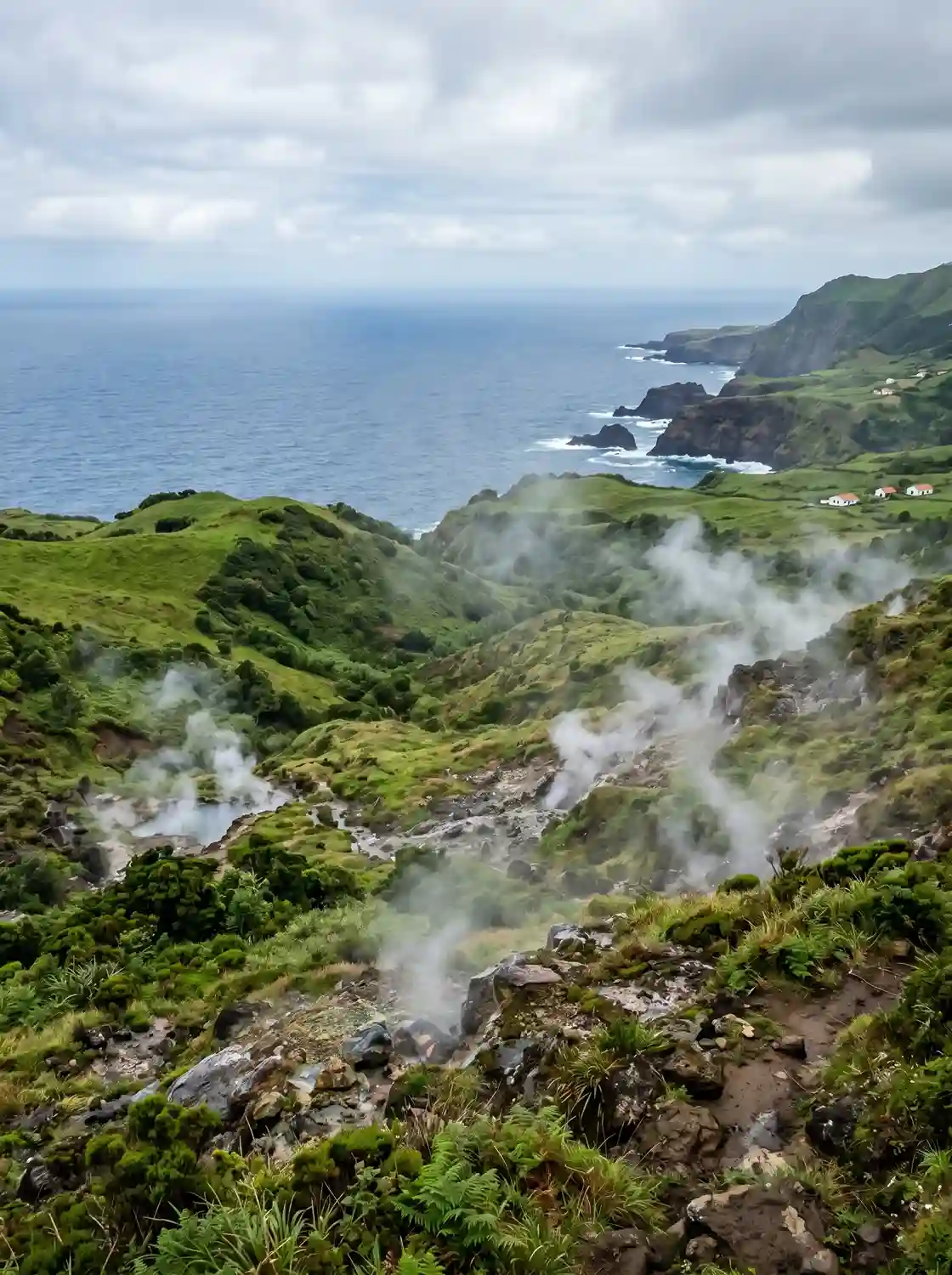
The islands’ commitment to protecting all this geology earned the archipelago its UNESCO Global Geopark designation back in 2015, covering some 1288400 hectares of land and sea, home to a population 236657, working out to a density 19 per square kilometer — sparse enough that you genuinely feel the space between towns. That status didn’t appear out of nowhere; it grew directly out of the volcanic origins of an archipelago built from roughly 1766 volcanoes, nine of which still count as nine active volcanoes today. The ongoing volcanic activity shows up in everyday details — thermal springs you can soak in, fumaroles venting steam from hillsides, and quiet gas emissions seeping up through cracks in the ground, alongside far stranger deep-sea hydrothermal fields hidden offshore.
Beyond the science, the Geopark puts real effort into educational programming — kids building a homemade seismograph, trying their hand at fossil molding, or watching hands-on volcano demonstrations that make geology click in a way no textbook manages. There’s also a steady push behind climate initiatives and biodiversity initiatives, including regular coastal clean-ups that protect the natural reserves, parks, and protected habitats scattered across the islands. All of it exists to safeguard the waterways, the native flora and fauna, and the wider landscapes and ecosystems that give this place its ecological value, scientific value, and cultural value — three things that, out here, tend to overlap more than you’d expect.
Food, Wine & Agriculture
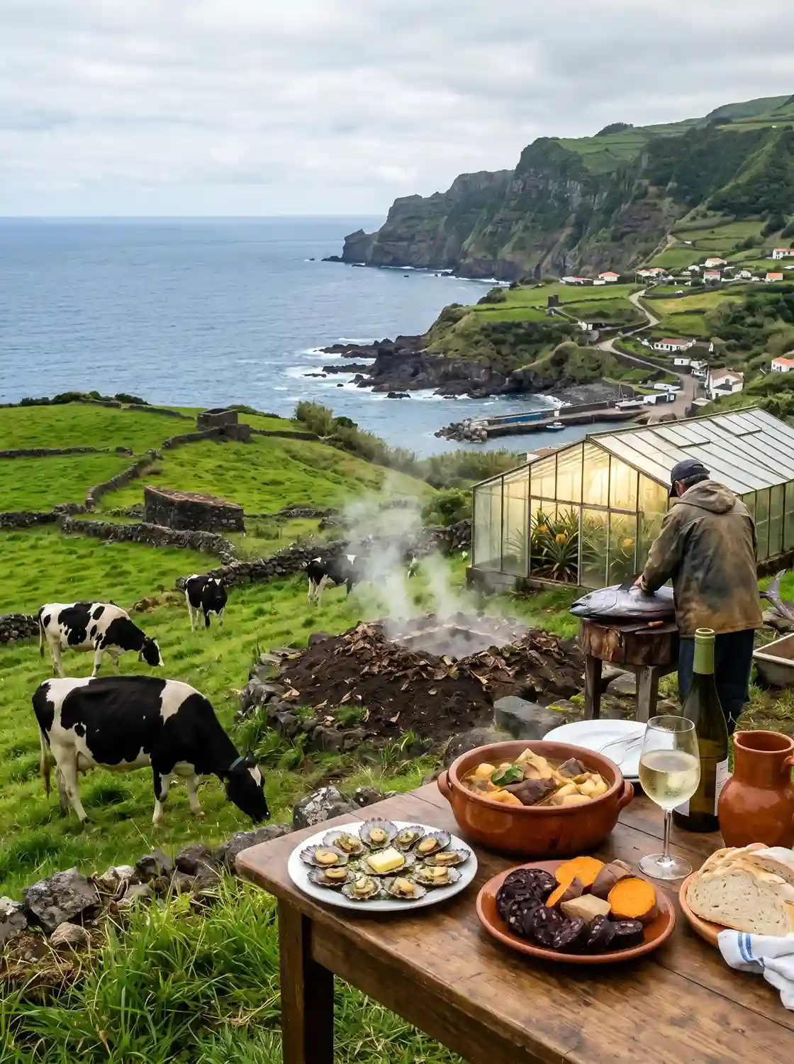
Agriculture still drives the local economy more than tourism does, anchored heavily in the dairy industry — there are stretches of road where you’ll count more cows than people. São Jorge built its reputation on cheese, most of it aged cheese, with the soft varieties ready after aged three months and the hard cheese styles held back as long as twelve months. It wasn’t always dairy carrying the islands financially, though: oranges made up something like 95 percent of 1800s income until a pest wiped the crop out, pushing farmers toward pineapples grown in greenhouses and smoke-forced to ripen faster than they ever would in open soil. The same resourcefulness shows up at sea, where tuna is still landed through harpoon-caught fishing rather than nets, a nod toward sustainability that long predates the word becoming trendy.
On the plate, Azorean cuisine mixes local tradition with centuries of international influence, picked up from trade ships that once stopped here trading spices and new cooking techniques. Bacalhau, or salt cod, shows up everywhere, usually as Bacalhau à Brás, washed down with a glass of Vinho Verde — a light, sparkling white wine that fooled me the first time I ordered it expecting an actual green tint. Then there’s Morcela, a regional blood sausage, and the showstopper, Cozido das Furnas: a multi-meat stew buried in the ground near Furnas, on São Miguel, slow-cooked entirely by natural geothermal heat. Don’t skip the Lapas (limpets), either. Beyond the table, the agricultural story includes a tea plantation dating to 1820 — the only one of its kind in Europe — plus a rare wine tradition and the fajãs, those fertile flat coastal land pockets that, alongside terraced fields and hand-built basalt stone walls, stand as quiet proof of generations of agricultural ingenuity turning narrow farming zones into something genuinely productive.
Things to Do / Activities / Tourism
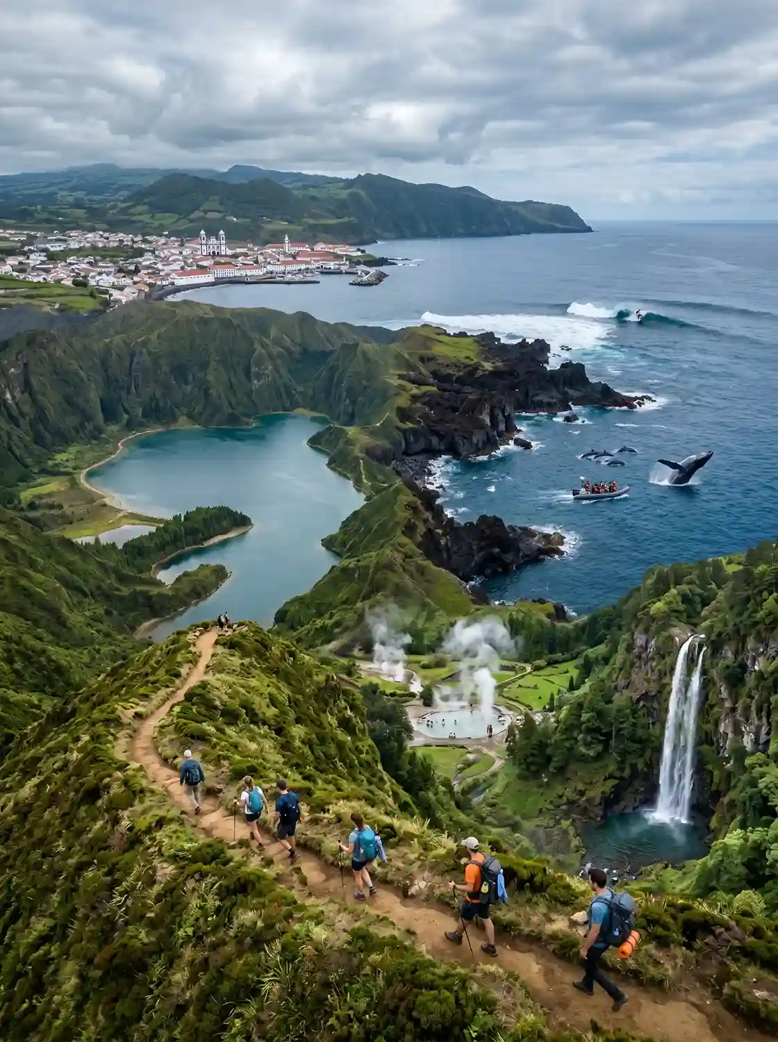
People love calling this the Hawaii of the Atlantic, and I get why, even though the comparison only goes so far — there’s no turquoise water or palm-lined black sand beaches here, just dramatic volcanic rock formations, steaming hot springs, cascading waterfalls, and caldera lakes sitting inside old craters. Adrenaline travelers come for hiking, surfing, whale watching, and sailing; everyone else comes for tranquility, quiet gardens, and the kind of low-tourism, unspoiled pace that’s getting harder to find anywhere in Europe — though even Ponta Delgada, now a regular cruise port, is starting to feel the early pressure of overtourism: rising prices, real housing pressure, and infrastructure strain on an agriculture-based economy that was never built for crowds. Locals I’ve talked with worry about it openly, and honestly, so do I.
Beyond the calendar of local festivals and events, the real experiential draw is the land itself — volcanic landscapes, dramatic calderas, hidden lava tunnels, and mountain trails that push most visitors well outside their comfort zone. Pico, the tallest peak in Portugal at 2351 meters, rewards the climb with panoramic views that make the burn in your legs worth it, while a plate of Cozido das Furnas afterward and a boat out for dolphin watching tours in the surrounding whale sanctuary round out a near-perfect week. Hikers get spoiled for choice with 60 trails worth of hiking trails, from easy walks to genuinely challenging routes, and history buffs should set aside a day for Terceira’s Angra do Heroísmo, a recognized UNESCO World Heritage town known for its historic festivals, plus the striking Pico vineyard landscape, grown straight out of black lava fields and carrying its own UNESCO World Heritage status.
Ethnography, People & Culture
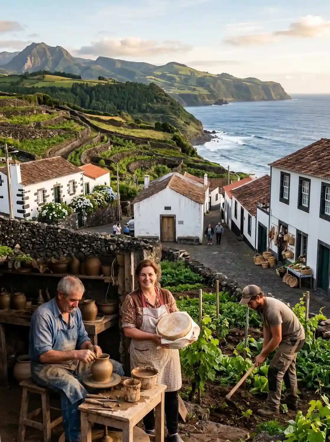
The people here carry more layered history than most visitors realize. Jewish migrants arrived in waves across the 1600s, the 1800s, and again during World War Two, each time fleeing persecution, and Ponta Delgada still holds a disguised synagogue, deliberately built to blend in, now preserved as a museum. Flemish settlers landed even earlier, in the 1500s, settling on São Jorge and likely passing down the cheese-making tradition the island is still known for. That same spirit of adaptation runs through everything: faced with limited fertile land, generations carved terraced fields and stacked stone walls by hand, building a local craftsmanship that extends into pottery traditions, regional gastronomy, and a broader tradition of doing more with less — values that, today, line up almost perfectly with modern sustainability practices the rest of the world is only now catching up to.
Can You Drink the Tap Water in the Azores?
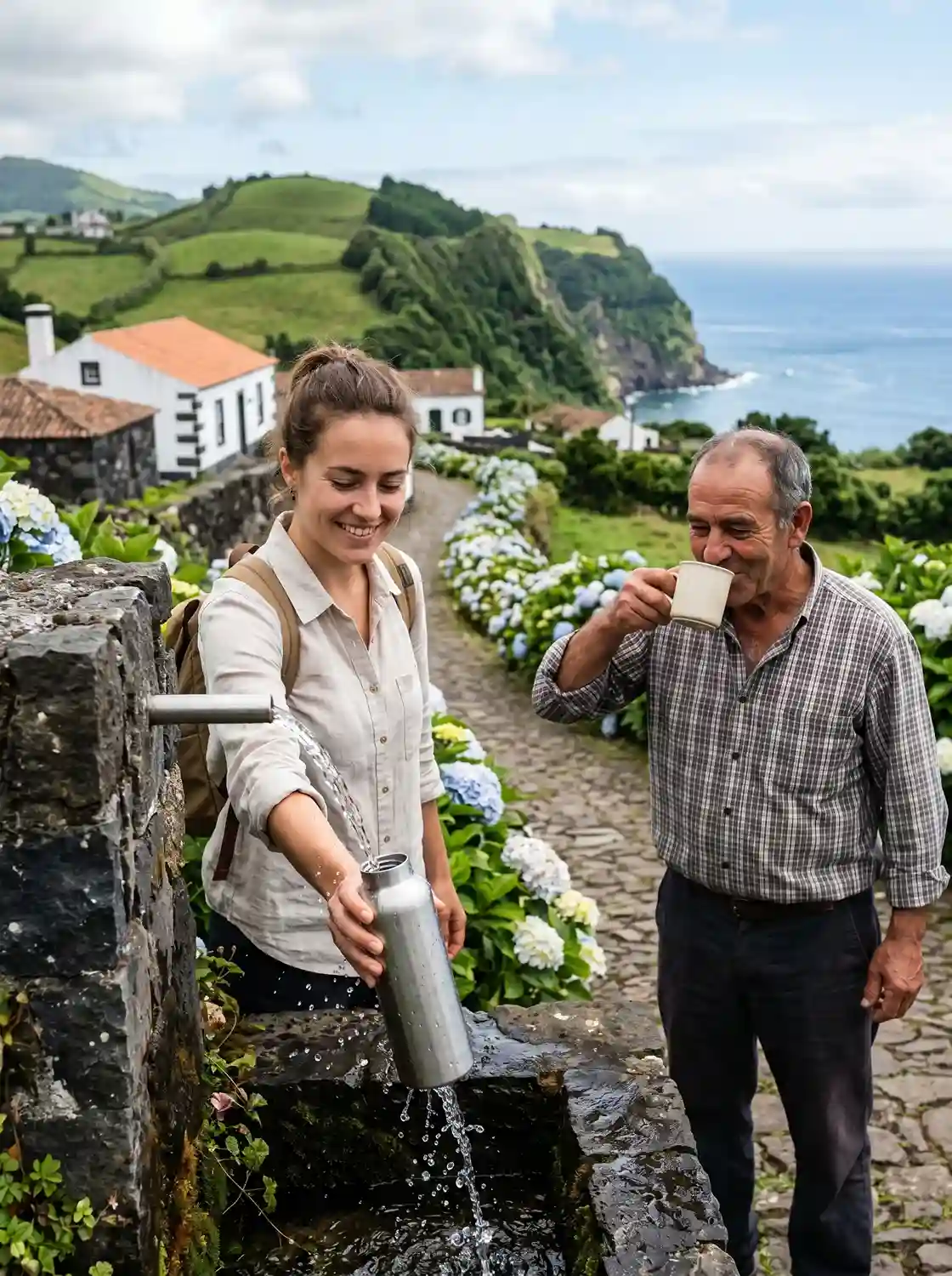
Yes — and it’s better than you’d expect. The tap water here is genuinely safe, straight out of the faucet, and I’d argue it’s some of the freshest water I’ve had anywhere — drinking water that doesn’t need a filter or a second thought. My honest recommendation: skip the bottled water entirely and refill a reusable bottle instead; you’re not doing yourself any favors buying plastic on an island this clean.
Internet Speed in the Azores
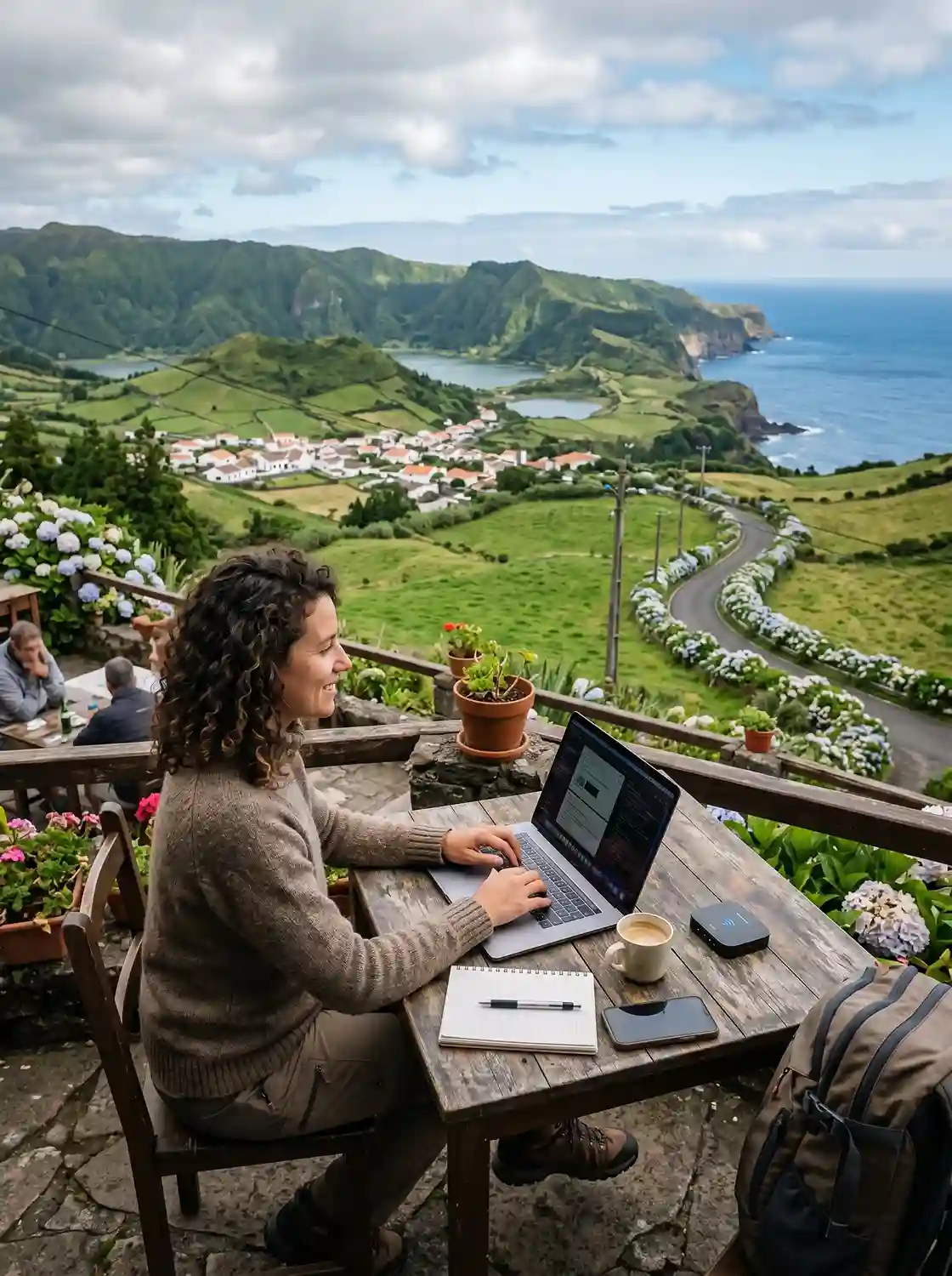
If you’re the type who needs to stay online while traveling, relax — internet speed on São Miguel held up better than expected during my stay, thanks to fast fiber internet running close to island-wide, with reliable connectivity even in spots that felt genuinely remote.
Cultural Food Tour Walkthrough
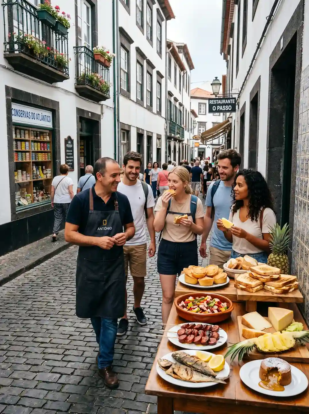
If you want the fastest education in island food culture, book a walking food tour through Ponta Delgada — I did one with Hungry Whale Food Tours and came away smarter about this place than two weeks of wandering on my own had managed. The four-hour tour packs in roughly ten tastings, starting with Queijadas, a custard-like pastry with no actual cheese in it despite the name, then moving into sandwiches built from Bolo Levedo layered with São Jorge cheese and winter honey, plus a soft, brie-like Faial cheese nicknamed the King of Cheese. From there it’s a local pineapple tasting, octopus salad, a stop at a sardine specialty shop that looks more like a chocolate shop until you realize what’s actually on the shelves, chorizo and fried mackerel eaten bones and all, and a finishing pineapple lava cake that I’m still thinking about.
UNESCO Geopark — Characteristics / Designation Data
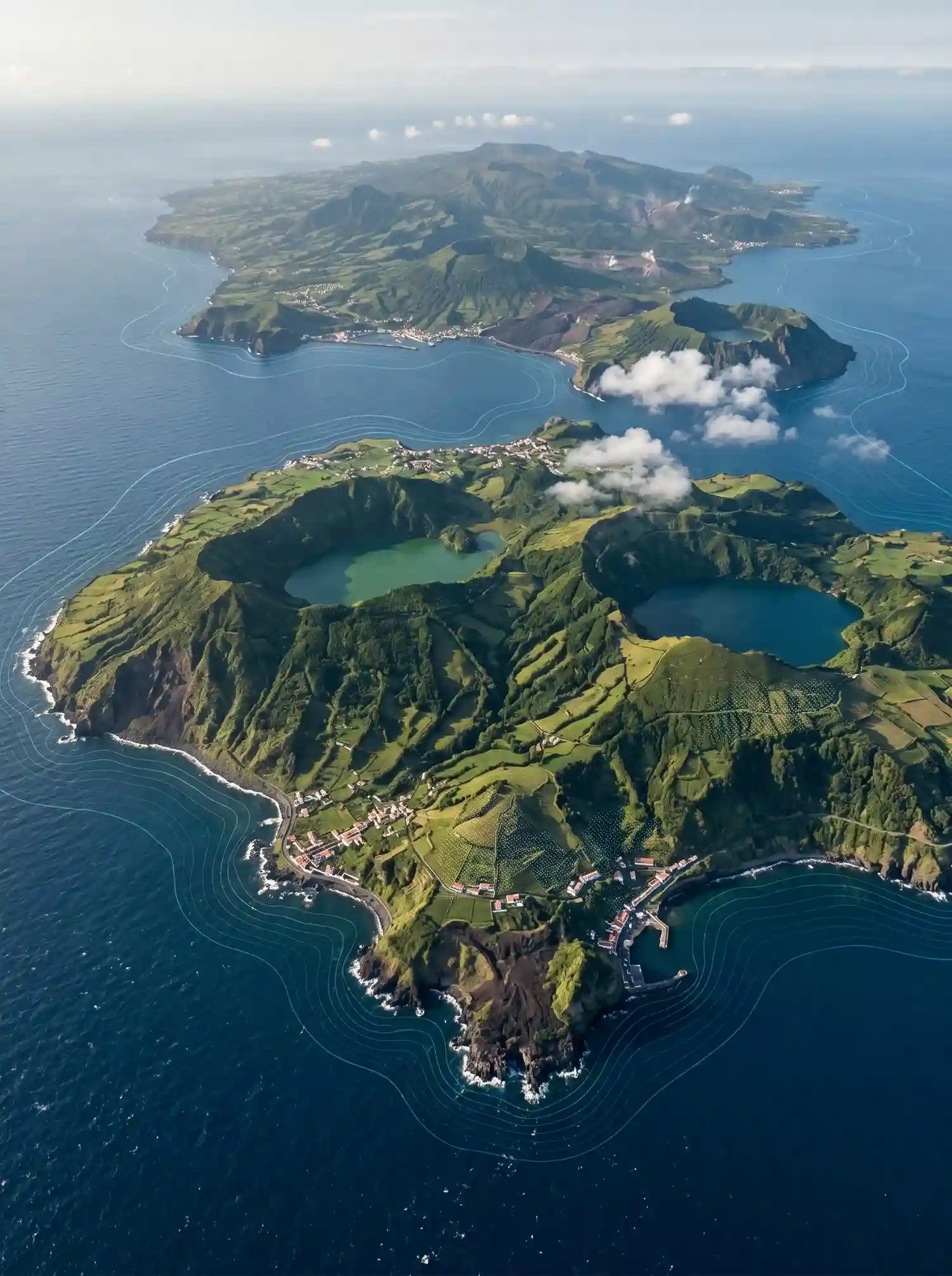
On paper, the numbers behind the designation date of 2015 tell their own story: a protected area of 1288400 hectares, a population of 236657, working out to a density of 19 per square kilometer. It’s registered under Portugal, marked as transnational: no — meaning this recognition belongs entirely to one country, a single, self-contained example of how much geological richness can exist within fairly small, defined borders.
The Nine Islands — Individual Profiles
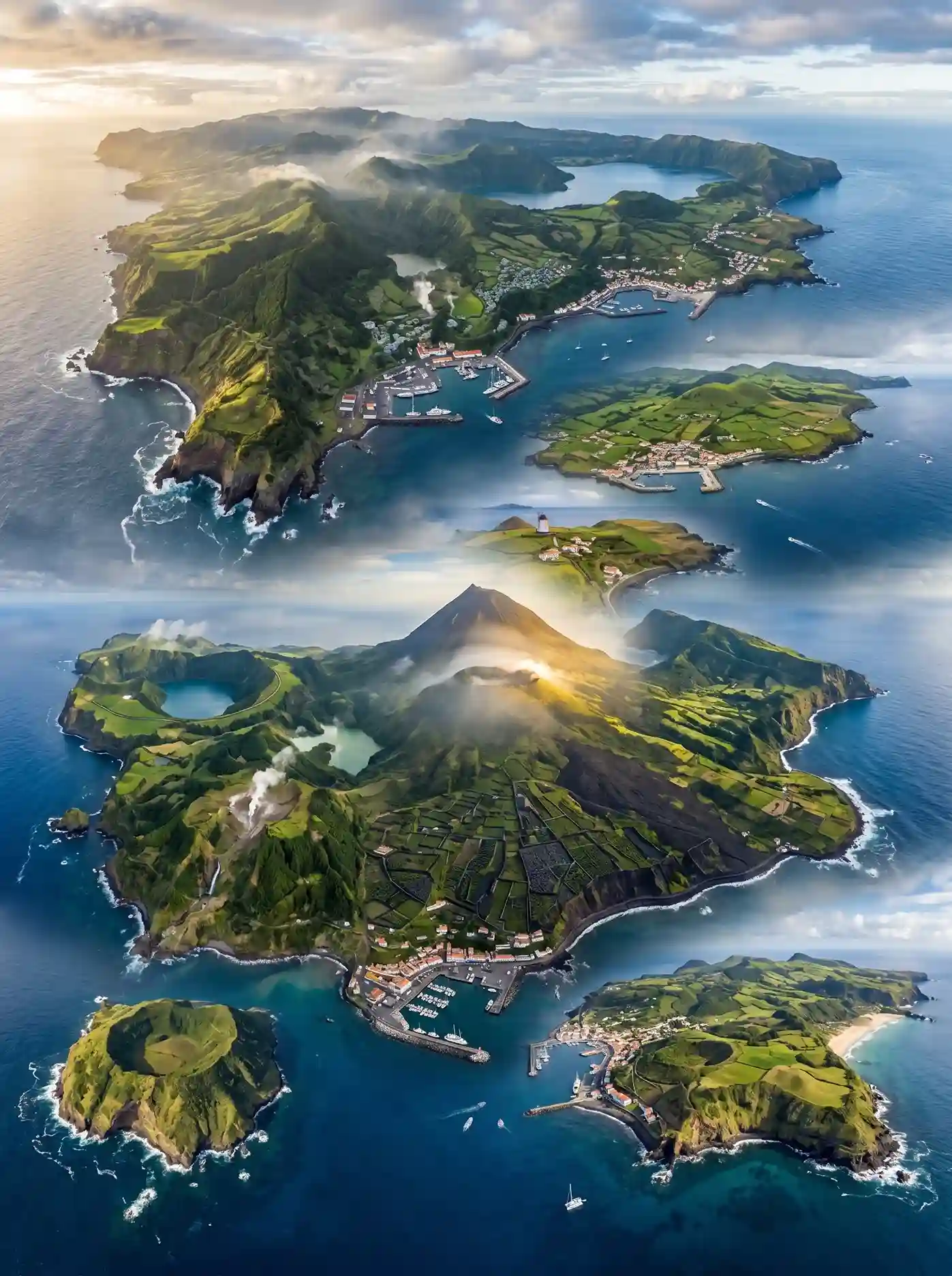
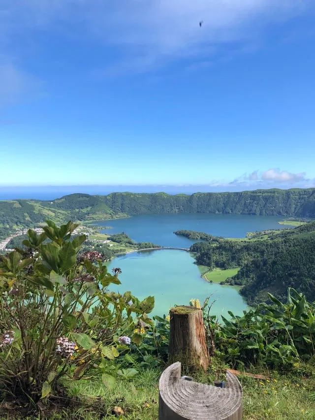
Each island earns its own personality once you start comparing them side by side. Santa Maria, the so-called sunshine island, leads with white-sand beaches and amphitheater-style vineyard slopes climbing the hillsides. São Miguel, the green island and largest island of the group, packs in Sete Cidades, the Fogo lagoons, bubbling geysers, steaming hot springs, and deep volcanic lakes, plus that underground specialty, Cozido das Furnas. Terceira earns its nickname as the festive island thanks to a packed festival culture and Angra do Heroísmo, a proper UNESCO World Heritage town with centuries of layered history. São Jorge, known as the island of fajãs, trades on its cheese, while Pico, the mountain island, claims the region’s tallest peak and a run of lava-field vineyards that earned their own UNESCO World Heritage status.
Further out, Faial plays the blue cosmopolitan island, recognizable by fields of hydrangeas and an international yacht marina that fills with sailors from every flag imaginable, sitting in the shadow of the extinct Capelinhos volcano and its strange, lunar-like landscape. Graciosa, true to its nickname as the white island, balances neat vineyards against old-fashioned windmills. Flores delivers some of the most dramatic waterfalls in the entire chain, and Corvo, the smallest island of the nine, centers around a large central crater and draws serious birdwatchers chasing transatlantic bird migration patterns most people never knew passed through here at all.