31 Best Swimming Holes Near Portland, Oregon (2026 Local Guide)
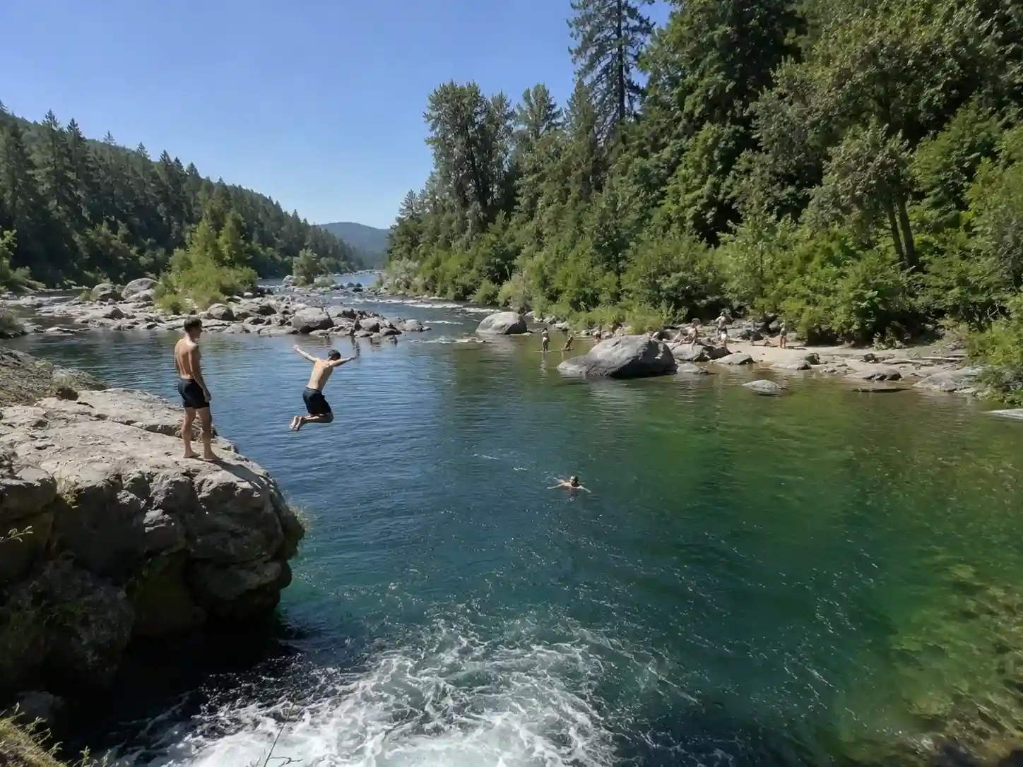
When the mercury skyrockets and temperatures soar past the lower 70s into the mid-70s, Portlanders start acting like teens plotting a summer crush — restless, a little giddy, checking the sky every hour. It’s not really about the heat wave being unbearable; it’s that stuffy apartments stop making sense the second snowmelt has filled every creek around here with crystal blue pools begging for a refreshing plunge. I’ve lived through enough Julys in this city to know that once someone starts to laugh carelessly about cool off plans for the weekend, that’s basically the unofficial start of an urban Oregon summer, and it’s the kind of feeling that turns into binge-scrolling maps of bodies of water the way people binge The Summer I Turned Pretty — minus the beach-house drama, plus actual swim trunks.
So consider this a proper Willamette River swimming guide, expanded well past the river itself. I’ve categorized the best swimming holes across the greater Portland region into dozens of day trip destinations, everything from one hour runs to full two hours commitments. Some have gentle currents ideal for dunking the kids, some are slow moving water perfect for floating, and a few are pure splashing, cannonball-off-the-rock water lovers’ territory. There’s a summer dip here for every mood.
One honest safety reminder before we get into it: changing conditions are constant out here. River currents shift because of wildfires, other weather events, and even late season snow melting off the mountains, which can shut down roads or trigger toxic algae blooms without much warning. Always check local warnings and posted signs before you get in, and understand that whatever you do at any of these spots is at your own risk — cold shock is real even when the air outside feels like summer.
Portland is Oregon’s largest city, and that shapes how these spots get used and loved. The Willamette River cutting through downtown is a genuine public space today largely because of the Human Access Project, a nonprofit that’s spent years pushing for infrastructure projects and natural swimming areas as part of reclaiming public spaces for regular people, not just industry. On a hot weekend expect crowded lots and water en masse — something like 80% of the crowd funnels into the same handful of spots — but there’s real urban excitement in that chaos too: ice cream stands, lawn games, family-friendly stops, a swim tucked right into the middle of outdoorsy fun and easy last-minute escapes without ever leaving city limits.
Sauvie Island Beaches (incl. Willow Bar, Walton, Collins, North Unit)
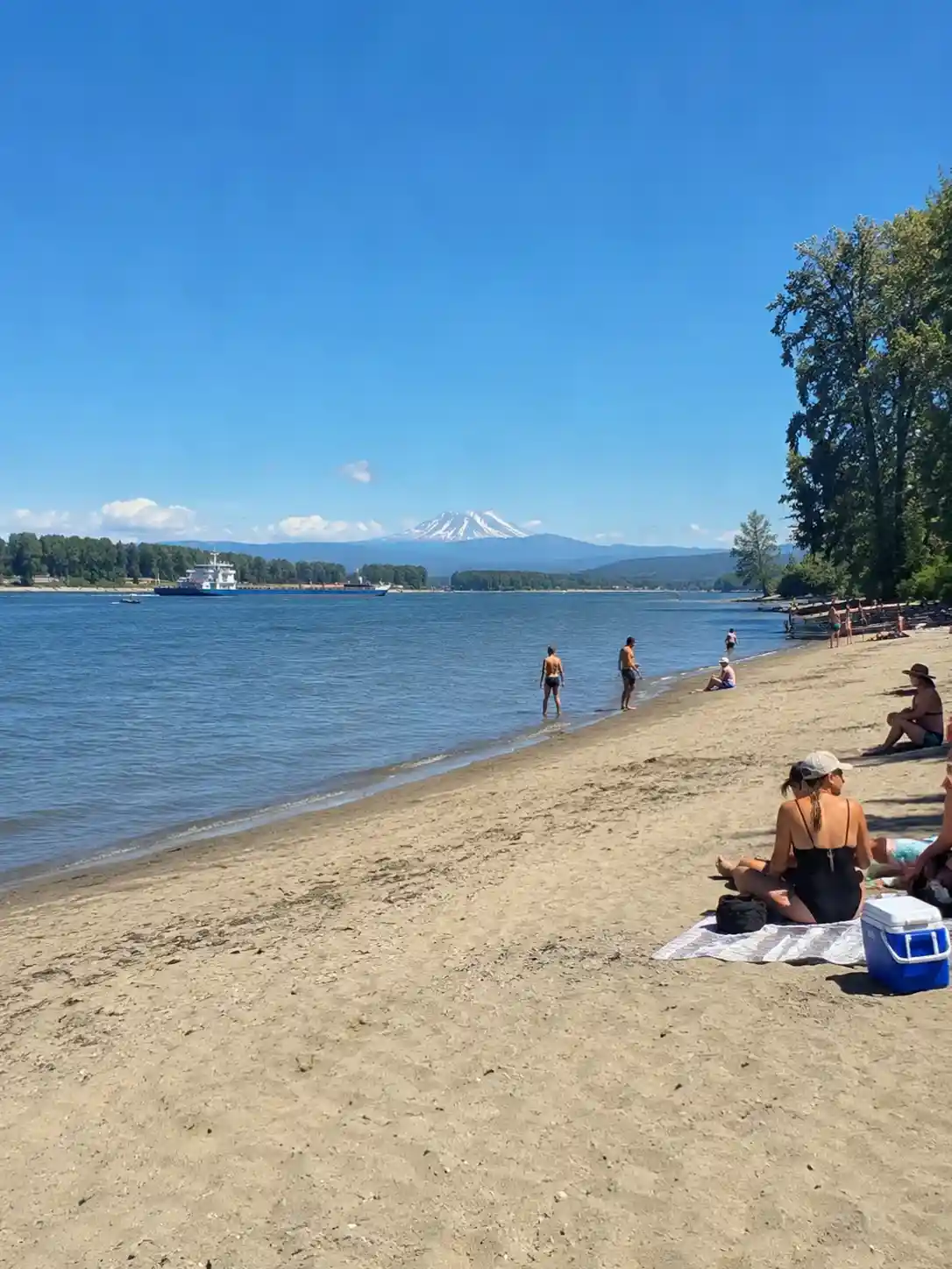
Take Reeder Road out onto Sauvie Island, Portland, OR 97231, about 30 minutes drive time from downtown Portland — barely 10 miles northwest, closer than most people expect for somewhere this rural-feeling. You’ll cross the bridge onto what was historically called Wapato Island, 24,000 acres that still farm like it’s a different state entirely, more pastoral than Manhattan could ever pretend to be. Grab your parking permit at the mini-mart near Milepost 7 before you go further; this is a drive-up situation, not a hike in one, and every one of the access points along the banks expects you to have already paid.
The stretch everyone just calls Sauvie Island Beach covers Willow Bar, Walton Beach, and Collins, roughly 1.5-miles of sand with limited shade, so pack your own umbrella. Walton Beach, closer to milepost 9, tends to be quieter; Collins Beach further down is the island’s known clothing optional beach, where barges drift by on the Columbia River like nobody’s paying attention. Stairs drop down from the small lots, it’s dog-friendly as long as yours is on a leash, and on a clear day you can pick out Mt. Saint Helens over the water while you spread a blanket for a picnic on the sandy beach. Amenities are minimal — mostly Port-a-Potties scattered through the North Unit Beaches.
For 2026, the Sauvie Island Beaches Parking Permit runs $10 and covers weekends and weekday visits from June 15 through Labor Day — no pass required beyond that. A separate Wildlife Area Parking Permit, also sold as the Sauvie Island Wildlife Area Pass ($30/season or $10/daily), covers the hiking side of the island, including the walk to Warrior Rock Lighthouse, Oregon’s smallest lighthouse, via a 6-mile out-and-back trail to Warrior Point Beach along the northeastern shores. Budget closer to 40 minutes for the full walk. It’s a quiet one-mile stretch that rewards the effort with a quick refreshing dip, plus enough local lore about a derelict boat and an old UFO sighting to make the walk feel like a story rather than a chore.
These public beaches fill up fast on weekends and any state holiday — mark June 19 and Sept. 7 as guaranteed crowds, so a weekday trip is the smarter move if your schedule allows it. Restrooms sit near the main lots. When you’re ready for food, Topaz Farms (open 11am-5:45pm, Wednesday-Sunday) sells fresh produce and flowers, has farm animals wandering the property, and runs live music, dinners, and events through the season — you could also swing through Cathedral Park in St. Johns on the way home if you want one more stop by the water before the day ends. Check Google Maps for the latest lot status before you commit; permit stations here have a habit of shuffling around.
Rooster Rock State Park
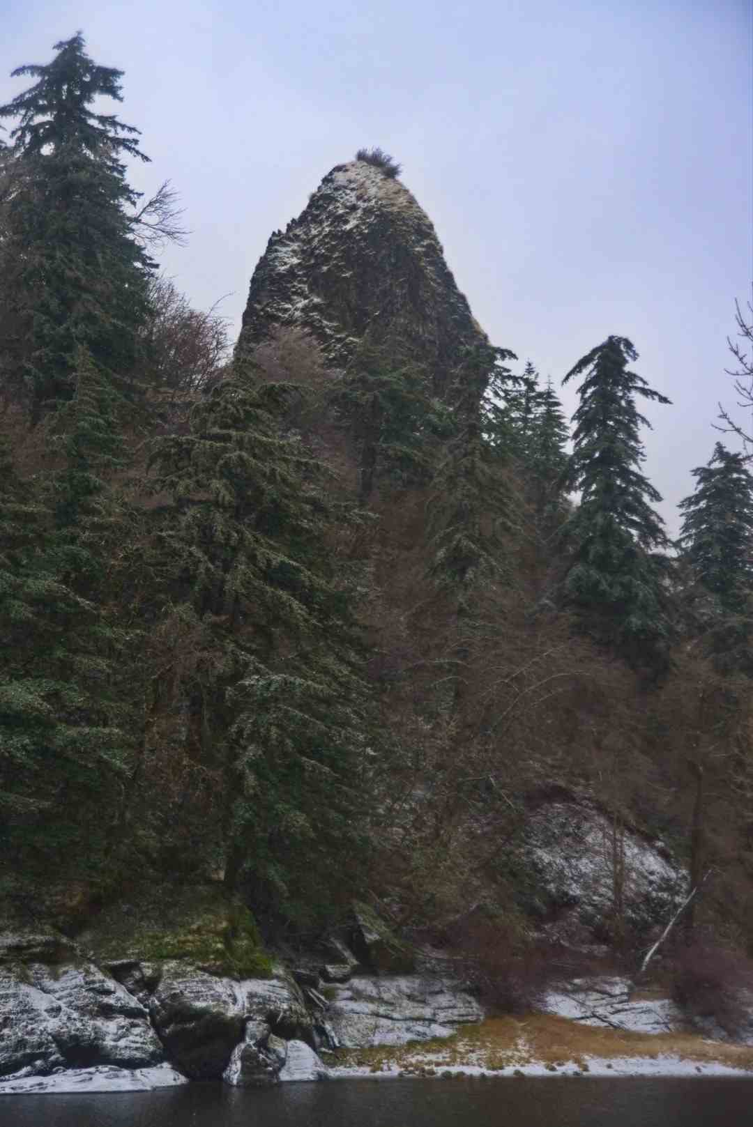
Rooster Rock State Park is about 30 minutes out along the Columbia River Gorge, and the first thing you’ll probably notice isn’t the water — it’s the ground squirrels darting around the picnic areas like they own the place. You’ll need the Oregon State Park Pass ($10/day, credit card accepted at the park entrance) to get in, and it’s dog-friendly, with restrooms, picnic tables, and BBQ grills scattered through the grounds, plus a disc golf course if you want to stretch the visit past just swimming.
There’s a genuinely strange late-summer phenomenon here worth knowing about: as the Columbia River drops from its high water peak in June, patches of half-submerged grass along the riverbank slowly reemerge, turning parts of the sandy beaches into something closer to a flooded meadow before they dry out completely. The Columbia Gorge vistas from the shoreline are some of the better ones near the city, and there are picnic tables overlooking river views if you’d rather eat than swim.
The park splits into two beach areas. The west side is family-friendly, clothing required, straightforward. The east side is the clothing-optional beach, kept as a genuinely separate area — you’ll walk to the far east parking lot and follow a dirt trail past the signs marking it as a nude beach. All told it’s a three-mile long stretch of river frontage, about 24 miles east of the city along the south side of the gorge, roughly 30 minutes by car from downtown.
Sellwood Riverfront Park
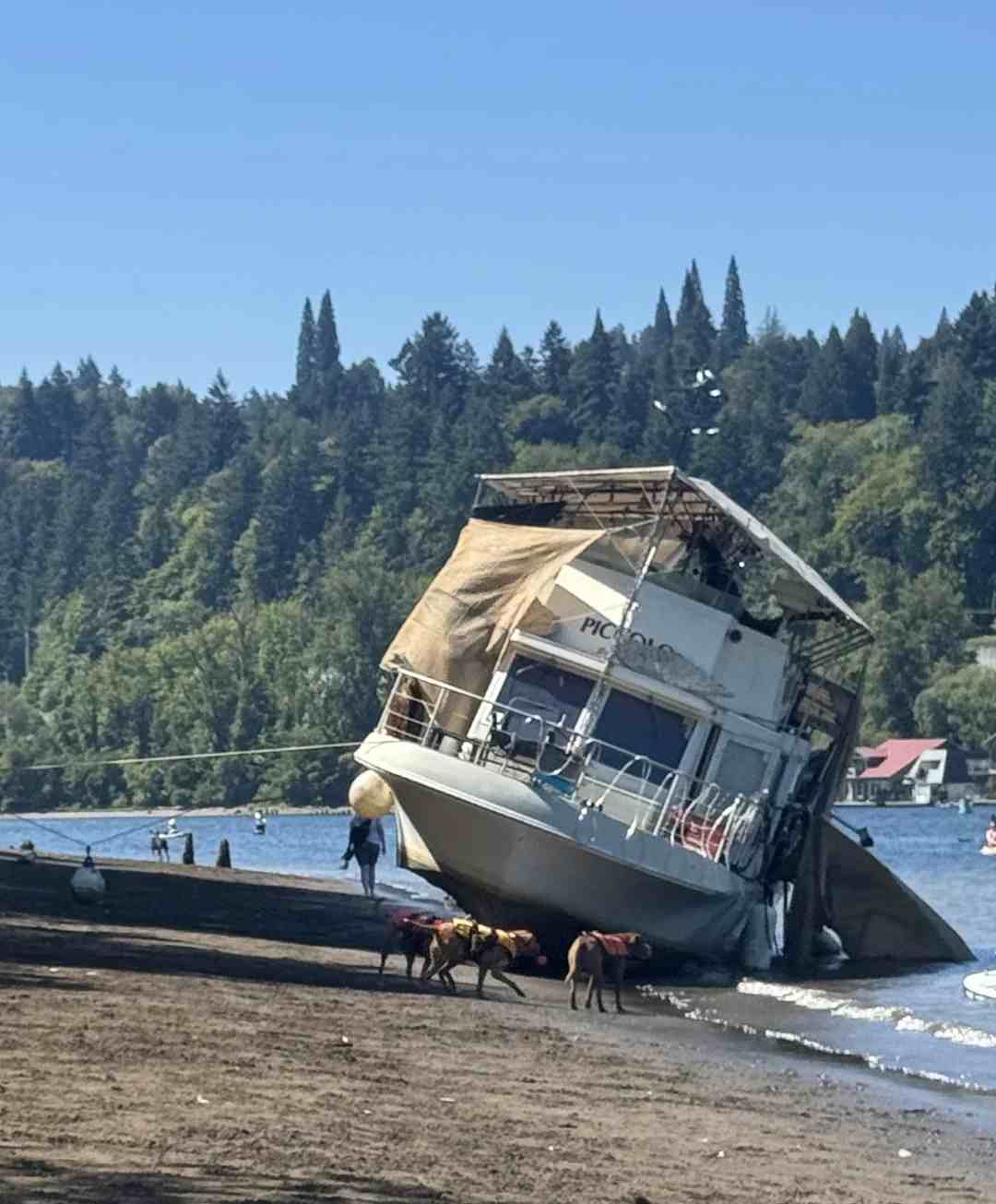
Sellwood Riverfront Park sits right under the Sellwood Bridge, and what I like about it is the split personality: half of it feels like an urban park with downtown buildings visible across the Willamette River, and half of it feels like a small wilderness retreat, with a woods trail leading to more secluded spots if you’d rather relax away from the crowd without committing to a long drive. It backs onto the Oaks Bottom Wildlife Refuge on one side and the Oaks Park amusement park on the other, so you genuinely get both worlds in one afternoon. It’s hike in only inside the park itself, with none of the usual pass required hassle, and it’s dog-friendly, including an actual off-leash dog area near the lot.
The main draw is the long sandy beach just north of Sellwood Bridge, wide enough that families spread out easily, with a nearby boat dock where kids do their obligatory cannonball off the edge. There’s a 1.5-acre grassy area where dogs frolic off-leash, more picnic tables under the shaded waterfront trees, and a canoe and kayak launching spot if you’re bringing your own gear. Restrooms are on site, and paved paths run the length of the park, good for strolling before or after a swim.
Once you’re out of the water, Oaks Park next door has a genuine historic carousel, roller skating, arcade games, rides, and mini-golf if you’ve got kids who aren’t done with the day yet. And for the walk back, Hurry Back Ice Cream does nondairy options alongside classics — their pineapple scoop is underrated — plus coffee if you need the caffeine more than the sugar.
Dougan Falls
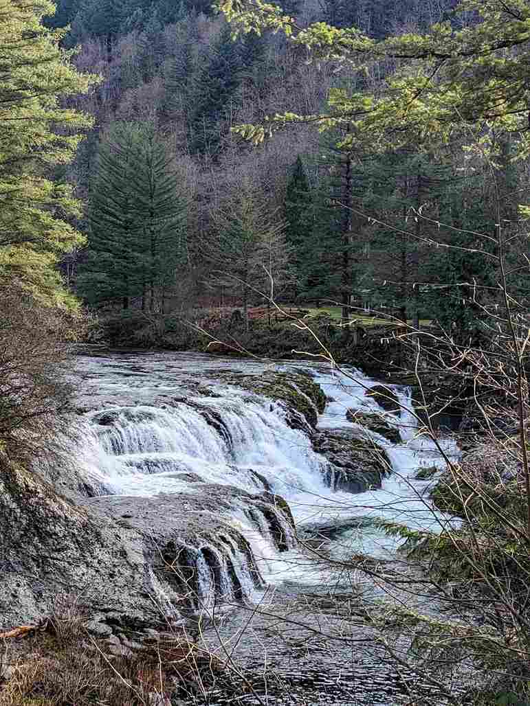
Dougan Falls is about 1 hour out, sometimes closer to 50 minutes, along the Washougal River Road, and it’s the kind of spot that rewards patience — a 19-foot cascading waterfall dropping into a deep pool ringed by conifer forests. The water runs genuinely crystal clear, cold enough to make you gasp, over smooth rocks that make the riverbed comfortable for wading rather than painful. I’ve watched a heron work the shallows here more than once while crayfish scuttle along the riverbanks below.
Parking is limited, so plan to arrive early on any summer weekend if you want a spot close to the water. It’s not a hike in destination — you park right along the road — but you do need the Washington Discover Pass ($10/day or $45/year, available for online purchase or in person at the Washougal River Mercantile). It’s dog-friendly, with basic restrooms and picnic tables near the main pullouts.
The blue-green pool below the falls has a rocky beach on one side, decent for lying out between dips, and the adjacent bridge makes for a good vantage point if you just want to watch rather than swim. Bring your Discover Pass printed or on your phone — rangers do check.
Moulton Falls
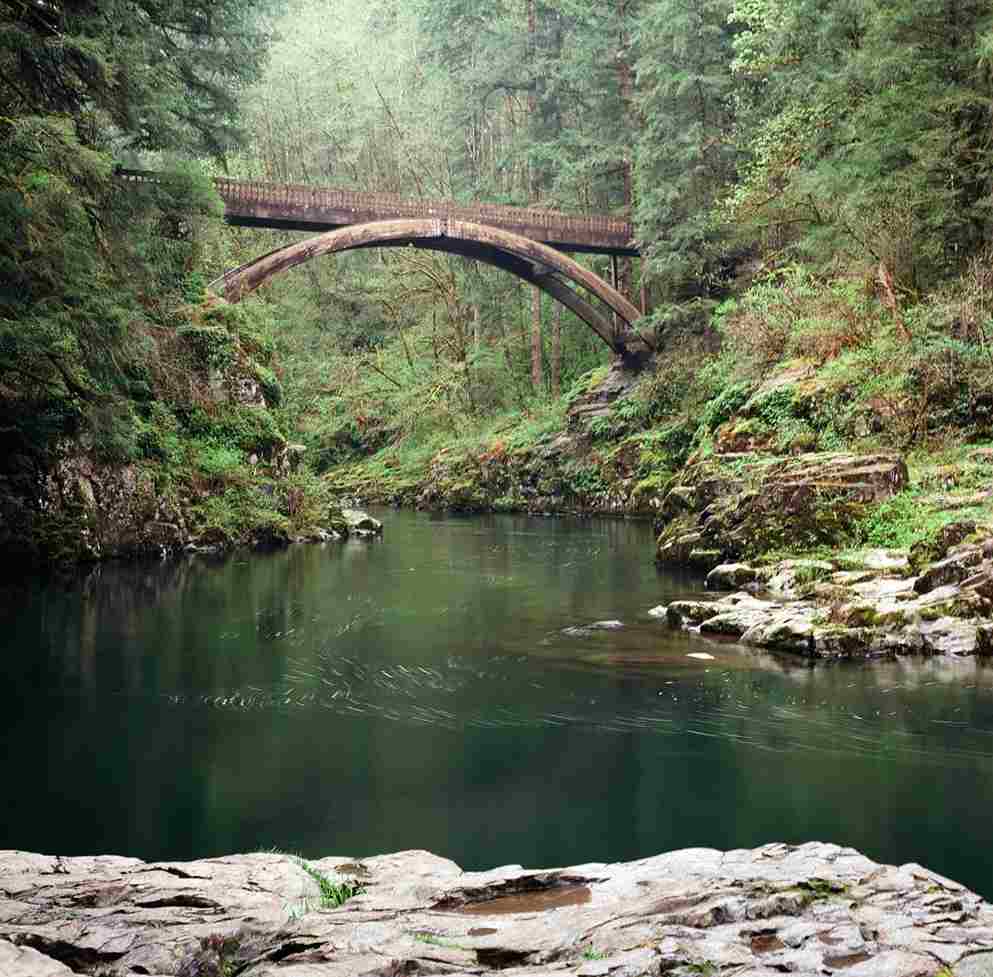
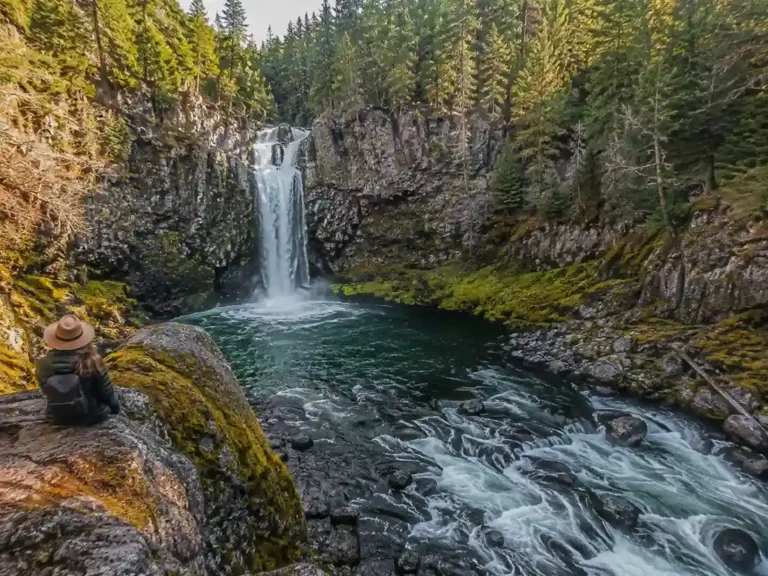
Moulton Falls, in Washington along the East Fork Lewis River, sits in a genuinely rugged forested setting, with cascades tumbling over a 10-foot waterfall across dark volcanic rocks and mossy ledges. The dense greenery here keeps most of the shaded banks cool even in August, though there are patches of sun-kissed rocks made for lounging if you want the heat. The park’s wooden arched bridge is the signature photo spot, though jumping from it is explicitly prohibited after a string of injuries — worth respecting, not just for legal reasons.
Moulton Falls Regional Park has real hiking trails if you want to extend the visit, including a route out toward Yacolt Falls, a 35-foot waterfall along Big Tree Creek, roughly a 1-mile loop hike from the main lot. It’s hike in for that portion, with no pass required, none at all, and the main park stays dog-friendly throughout, with picnic tables and a BBQ grill near the entrance. Budget about 1 hour drive time from the city.
The 387-acre park earns its reputation as genuinely Instagram-worthy falls territory — flat rocks perfect for a playing lizard afternoon, an inviting flat water pool below the falls, and two miles of trails tracing the Lewis River’s banks. The three-story arch bridge still tempts daredevils who illegally leap from it despite the rules. Admission itself is free admission, which is exactly why it gets so crowded — arrive early and stake out your beach spot if you want the full experience; regulars consider this one an MVP among the falls circuit.
Naked Falls
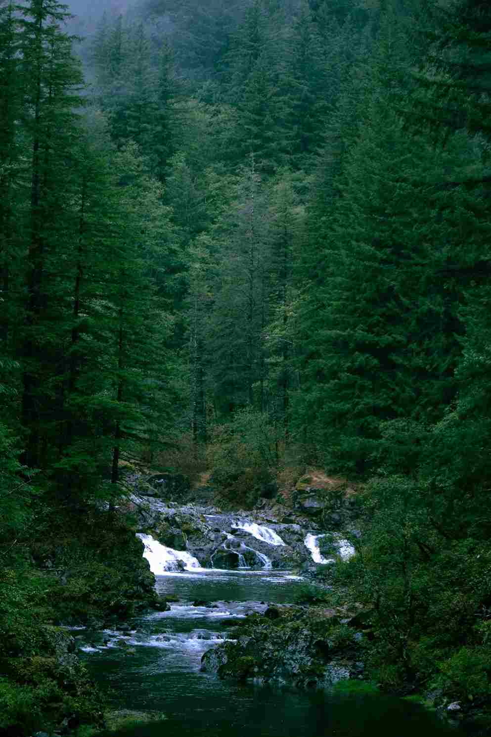
Naked Falls is a short one — hike in just 0.1 miles, a short steep scramble down from the road. You’ll need a site-specific day pass, around $13, sold through the Washougal River Mercantile, and be aware there’s an occasional printer requirement for the permit that catches people off guard, so check ahead. It’s listed as dog-friendly, though honestly that’s unconfirmed by the park itself, and there are no amenities to speak of. Drive time runs about 1 hour, sometimes 55 minutes depending on traffic.
What you get for the effort is translucent sky-blue water, close enough to nearby Dougan Falls and Reeder Falls that people often combine all three in one afternoon, plus small cascades feeding a pool that, despite the name, is no longer clothing optional — that reputation is outdated. The teal pools here have real rushing water and genuine pool party energy by July, when the crowd builds along the steep path down to a rocky platform covered in blankets and camp grills.
Once you’re in the Washougal River, there are little whirlpools worth finding, plenty of feet-kicking and lounging, room for a cannonball off the namesake cascades, and a calmer stretch for swimming laps if you’re there to actually exercise. Kids gravitate toward the tree root bouldering near the bank, and there’s a calmer walk-in entry point downstream for anyone not ready to jump. Access is via a rough gravel road, and parking now runs a $15 parking day pass separate from the swim pass itself.
Lower Lewis River Falls
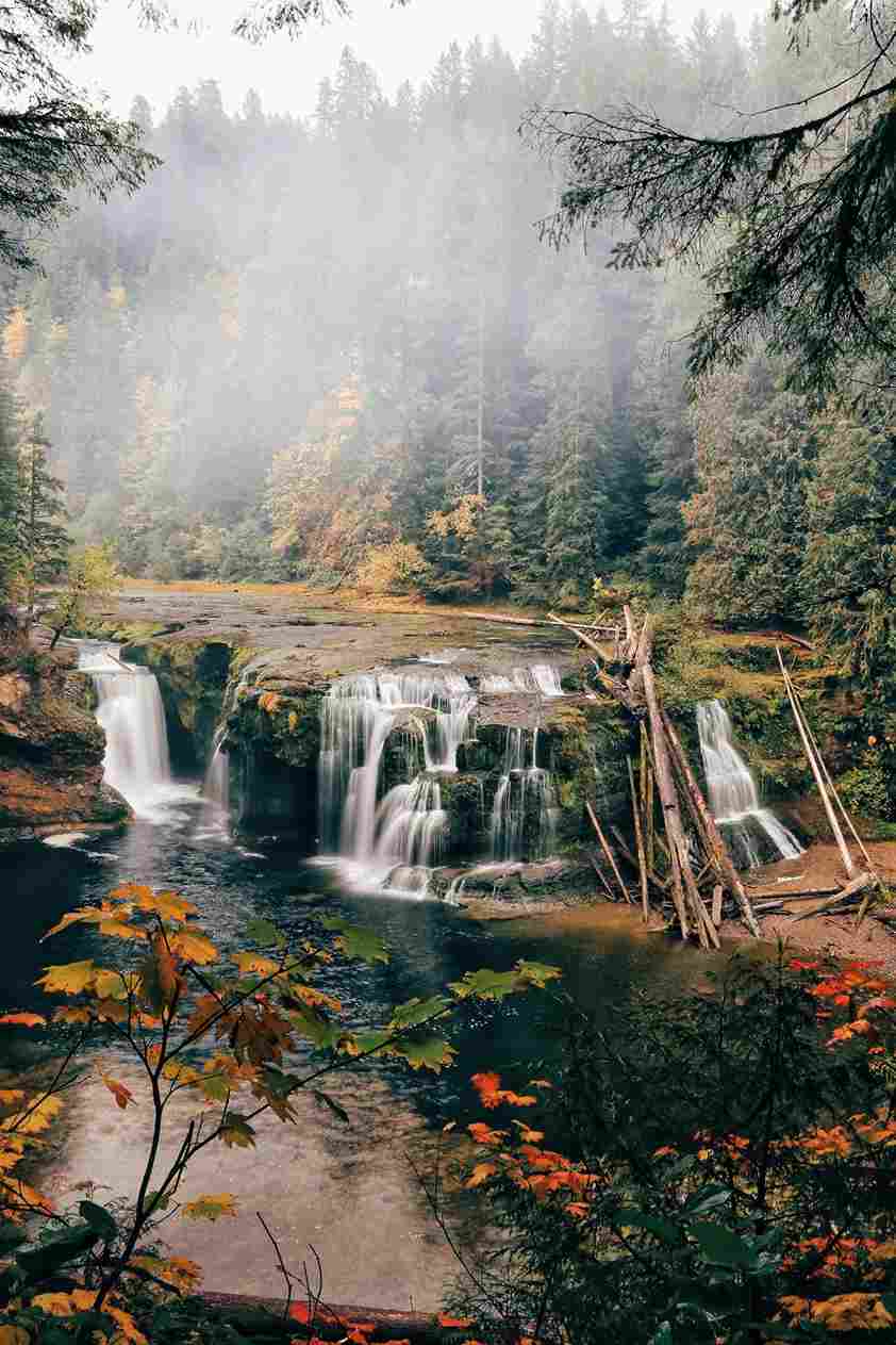
Lower Lewis River Falls is the farthest swimming hole on this list in terms of effort, but the incredible scenery makes the waterfall hike worth it. It sits along the Lewis River, one of several major waterfalls in the stretch, roughly three miles into a hike that ends at the Lower Falls themselves — a broad basalt ledge where streams and rivulets fan out before the water goes roaring over the edge. In powerful spring flow this stretch is genuinely dangerous; by sedate summer it calms into something swimmable, though dangerous wading spots remain if you stray from the marked safe calm stretch.
It’s a hike in trail, no pass required in the traditional park sense, but you will need an NW Forest Pass ($5/day, or covered by an America the Beautiful Pass) plus a small Lewis River Recreation Area reservation fee of $2. It’s dog-friendly, with restrooms and picnic tables near the trailhead, and the full trip runs about 2 hours drive time from Portland.
The falls themselves stretch 200 feet across and drop 43 feet high into a turquoise plunge pool that people half-jokingly compare to something out of Shamu’s tank — that’s how vivid the color gets. It’s a genuine cliff jumper’s paradise for the confident, with smaller pools and a rock wall nearby for the more cautious, all tucked into old-growth forest. If the main falls feel too packed, both Middle Lewis River Falls (1.5 miles upstream) and Upper Lewis River Falls (one mile further) offer quieter alternatives to the often overcrowded lower section.
Punchbowl Falls
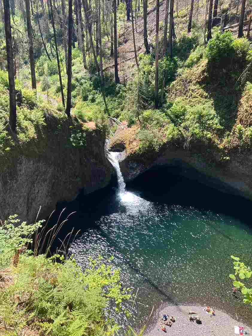
Punchbowl Falls sits at the confluence of the East Fork Hood River and West Fork Hood River, and confusingly, there are two distinct locations that share the name — one here in the Hood River area, another along the Eagle Creek corridor in the Columbia Gorge, so double-check which trailhead you’re heading to. This one is a short hike in, about 0.5 miles one-way, with pass required: none, though there’s a Port-a-potty at the trailhead. Drive time runs roughly 80 minutes, sometimes 45 minutes depending on the route you take.
What waits at the end is a genuinely peaceful swimming area below a 10-foot waterfall, framed by a columnar basalt canyon with a distant Mt Hood summit peeking through the trees. Nearby sits the taller 75-foot Dead Point Falls, worth a look even if you’re not swimming there. Lush greenery and thick summer forest surround the trail, and the clear-as-glass water here is some of the most photogenic on this whole list, framed by tree-covered cliffs.
The other Punchbowl Falls, along the Eagle Creek trail roughly two miles in, drops into a bowl-shaped pool below a 36-foot waterfall. That section suffered real damage in the 2017 Eagle Creek Fire, and while underbrush and young saplings have shown a strong rebound, some of the trail character has changed permanently.
Lewisville Regional Park
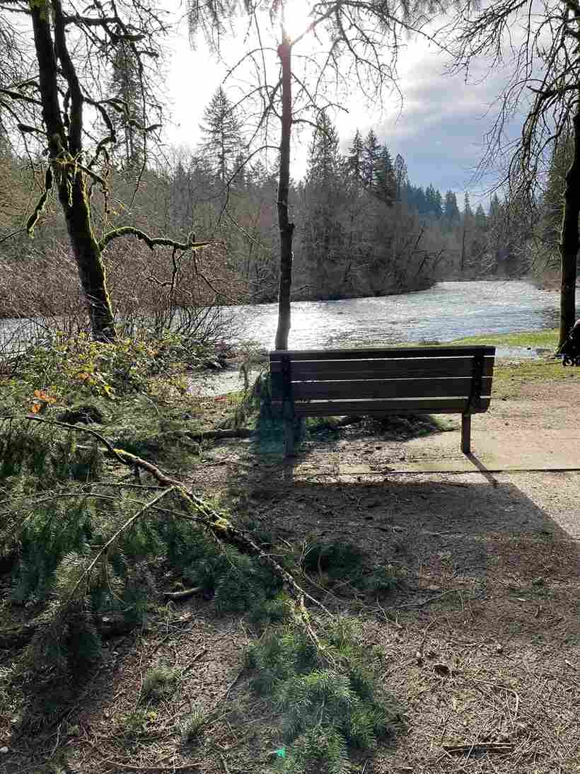
Lewisville Regional Park runs along the East Fork Lewis River, no hike in required, just a short walk from the lot along maintained trails. Entry is a $5/day regional fee, payable by credit card at the park entrance, and it’s dog-friendly with full restrooms, picnic tables, BBQ grills, a playground, a basketball court, and even a baseball field — this is a full-day park, not just a swim stop. It’s about 40 minutes drive time from the city, and if it’s full, Oxbow Regional Park along the Sandy River makes a decent backup.
Worth flagging: there’s a planned course change to this stretch of river expected by the end of 2026, which local officials have said may make some areas less safe for swimming than they are today — check current conditions before you go, especially in southwest Washington where river management projects tend to move fast. As it stands now, the clear cold water and lush forest along shady riverbanks make this one of the more pleasant river access points around, with multiple parking areas feeding different wading spots where currents vary noticeably from one bend to the next.
The Knotty Pine picnic shelter anchors the 159-acre park, and the Lewis River shores here include a proper grassy expanse for wheelbarrow races if you’ve got kids who need to burn energy between swims, plus more picnic tables and barbecue shelters and playgrounds built for families. The Larch area has a nice sand-and-pebble beach for easy wading — good for water wings and toddlers — while a separate grass clearing in the Ponderosa area offers more secluded lounging against a stronger current, with swaying trees overhead for shade.
Wilson River
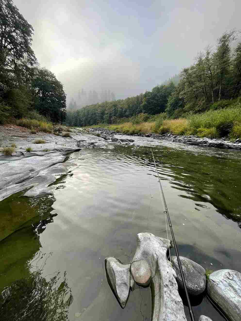
The Wilson River is genuinely overlooked by Portlanders, probably because of its coast proximity — it sits close enough to the Tillamook beaches that most people drive straight past it toward the Pacific Ocean comparison point and never stop. That’s a mistake, honestly, because it’s safer and less frigid than most coastal water. The Jones Creek Day Use Area has good picnic tables and multiple river access points if you just want to relax by the water.
Nearby, the Tillamook Forest Center is worth the stop on its own — it has indoor restrooms, a climbable fire lookout tower, forest history exhibits, and a striking 250-foot suspension bridge over the river. Entry is free admission, though a $5 donation is appreciated. If you’d rather keep driving, Oceanside is only about 45 minutes drive further west.
Access along the river is hike in: no, meaning you can just pull off; there’s pass required: none, and it’s fully dog-friendly, with BBQ grills at a few of the pullouts. Total drive time from Portland runs about 1 hour. Locals point to Keenig Creek along Highway 6 near milepost 18 for a still wide section of river with natural rock steps — kids treat the descent like a real-life game of Q*bert. There’s a rope swing and a popular bridge jump near a wide rocky bar, good for wading, with braver risk-takers going for the full bridge deck launch.
Dodge Park
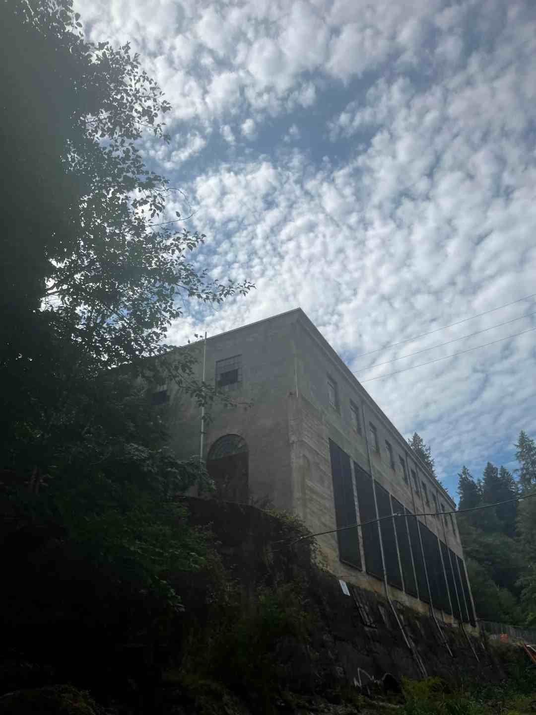
Dodge Park, at 11021 SE Lusted Rd, Sandy, OR 97055, has one of the better-known rope swing setups on this list, feeding into a genuinely secluded pool. Parking is free parking, with Port-a-Potties on site, and the Sandy River here tends to run less crowded than the bigger-name parks, with genuinely calm turquoise water for most of the season.
You can park in the campground parking lot or find spots along road parking if the lot’s full — either way, bring beach chairs, since the rocky shoreline has sandier spots further down worth a blanket for families and couples wading who want a bit of privacy away from the main crowd. A service road on the north side near the old bridge leads out to a decommissioned rail bridge, and following it opens up more private sandy beaches and calm deep pools the farther you walk.
For food after, Sugar Pine nearby does solid ice cream and a decent lunch, though be ready for a crowded line on weekends — worth it anyway.
Hood River Penstock Flume Pipeline
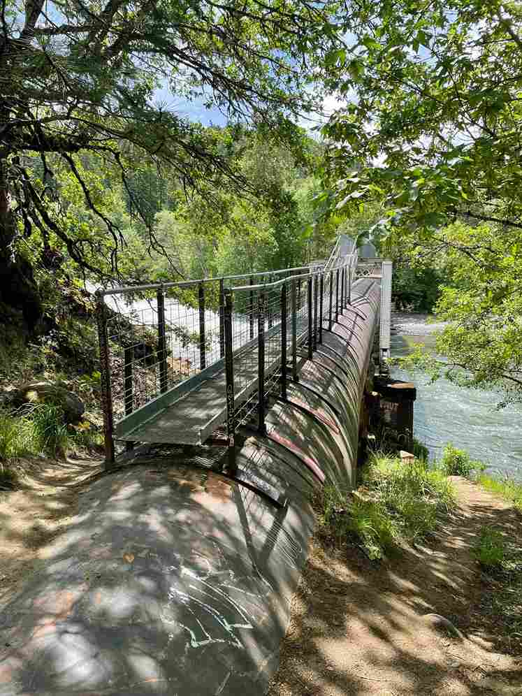
The Hood River Penstock Flume Pipeline Trail, off in Hood River, OR 97031, is a genuine hidden gem — free parking, no bathrooms, the kind of secret spot that spreads by word of mouth. It’s a half mile walk in along a rough one-lane road to an unpaved lot, past a hand-lettered keep gate clear sign and through the gate itself onto the actual pipeline trail.
The route follows the old Powerdale dam corridor, from a site of decommissioned electricity generation now known mostly for strong salmon runs. You’ll walk alongside an operating rail line used by the Mount Hood Railroad Train, a genuinely slow train that makes the rail line walk feel safe rather than sketchy — budget about 15 minutes for that stretch before the pipeline crossing, where an elevated walkway with a small ladder drops you down to a rocky beach for the actual swim. All told it’s roughly a 3-mile out-and-back walk. Refuel after at Grasslands Barbecue on the way out of town.
Burnt Lake
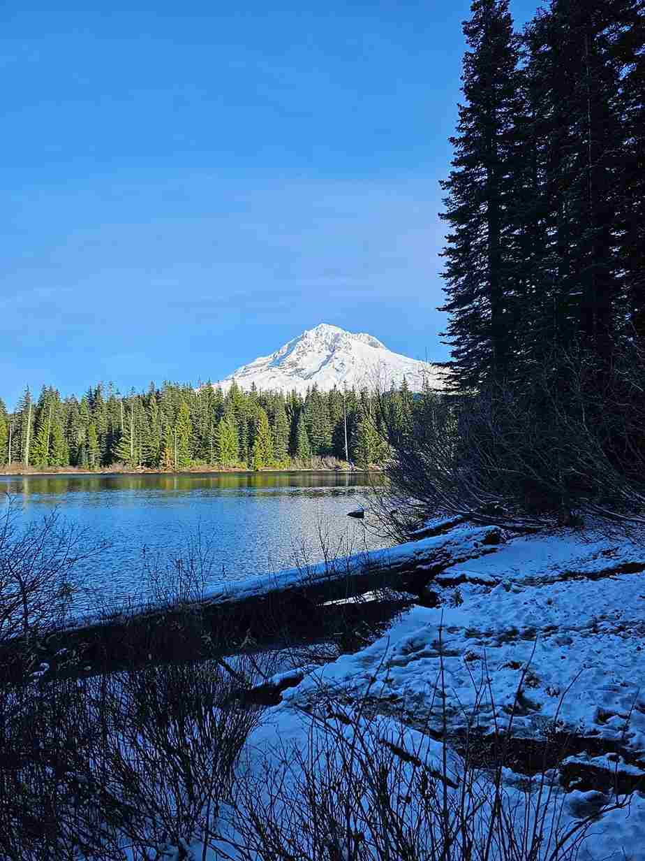
Burnt Lake, reached from the Burnt Lake Trailhead near Rhododendron, OR 97049, delivers some of the best Mt. Hood views on this entire list, but it makes you earn them. Parking is free limited parking, there are no bathrooms, and this is genuinely the furthest swimming spot here in terms of difficult access — it’s foot only, a real 3.5 miles of steep mountain hike each way.
Because of the distance, plenty of people turn it into backpacking, using the walk-up campsites near the shore rather than doing it as a single day hike. Pack your swimsuit and brace for genuinely frigid water — this is straight snow melt, and the cold shock hits fast. But the close-up views of the mountain from the water make it worth the climb, especially since there are no water stations along the trail, so carry everything you’ll need.
Sunset Falls
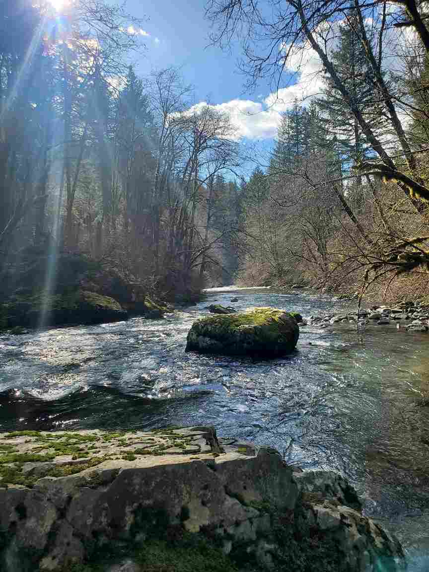
Sunset Falls is a short one: 0.2 miles, out and back, requiring an NW Forest Pass ($5/day, or an America the Beautiful Pass), with basic restrooms and picnic tables near the lot. Drive time runs about 70 minutes.
It has a genuinely hidden remote feel for how easy it is to reach, helped by a small campground tucked into the Gifford Pinchot National Forest. The waterfall itself feeds through picturesque streams before dropping over a 14-foot lava rock ledge on the East Fork Lewis River, landing in a tranquil pool that makes for a perfect swimming hole on a genuinely hot day. Aim for a weekday visit if you want few crowds — weekend crowds here build fast given how short the walk in actually is.
Milo McIver State Park
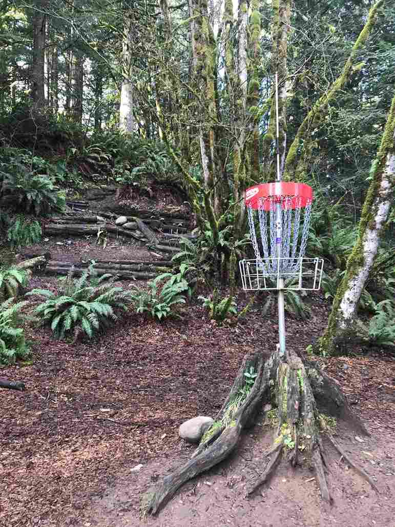
Milo McIver State Park sits along the Clackamas River, hike in: no, just drive-up access once you’ve got your Oregon State Park Pass ($10/day, credit card accepted at the gate). It’s dog-friendly, with restrooms, picnic tables, a disc golf course, a boat ramp, and both kayak rentals and SUP rentals on site. Drive time is roughly 45 minutes from the city.
The park offers genuinely scenic wading spots along multiple river access points, and this stretch of the Clackamas tends to run calmer river, meaning safer swimming for families than some of the faster water elsewhere on this list — good for floating as the day winds down toward end of summer. Nearby, Estacada Lake adds a boat dock and a second kayak launch, plus forested hiking trails, a working fish hatchery, and an off-leash dog park if your dog needs the day as much as you do.
Glenn Otto Community Park
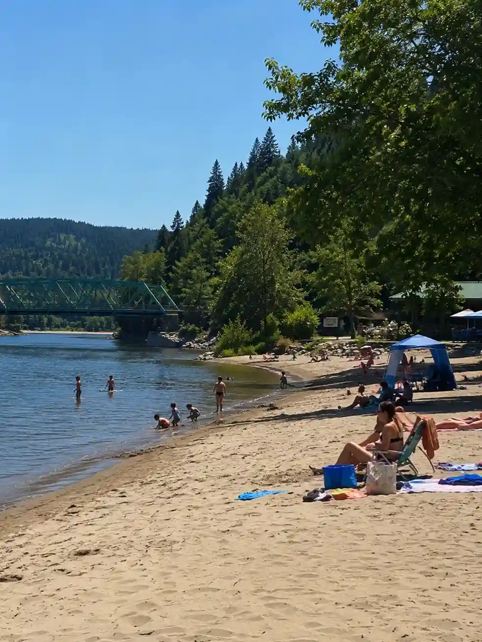
Glenn Otto Community Park is another hike in: no spot, with metered parking at $2/hour Friday-Sunday and free Monday-Thursday — plan your visit accordingly. Dogs not allowed here, which surprises some first-timers, but there are full restrooms, picnic tables, a playground, and BBQ grills, plus an on-site restaurant and lifejackets available to borrow. Drive time is about 20 minutes, making it one of the more convenient options on this list.
It’s a genuinely beautiful beach with soft sand, easily the most convenient swimming spot close to the city, but there are real safety concerns worth knowing: the cold water here can sit in the 50s temperature range even in summer, and the Sandy River meeting the Columbia River confluence creates strong currents that demand real caution. Lifeguards aren’t always present, so take advantage of the free lifejacket borrowing program, and consider bringing a tent for shade. After swimming, Sugarpine Drive-In nearby does good drinks and snacks with shady outside seating.
Mosier Creek Falls
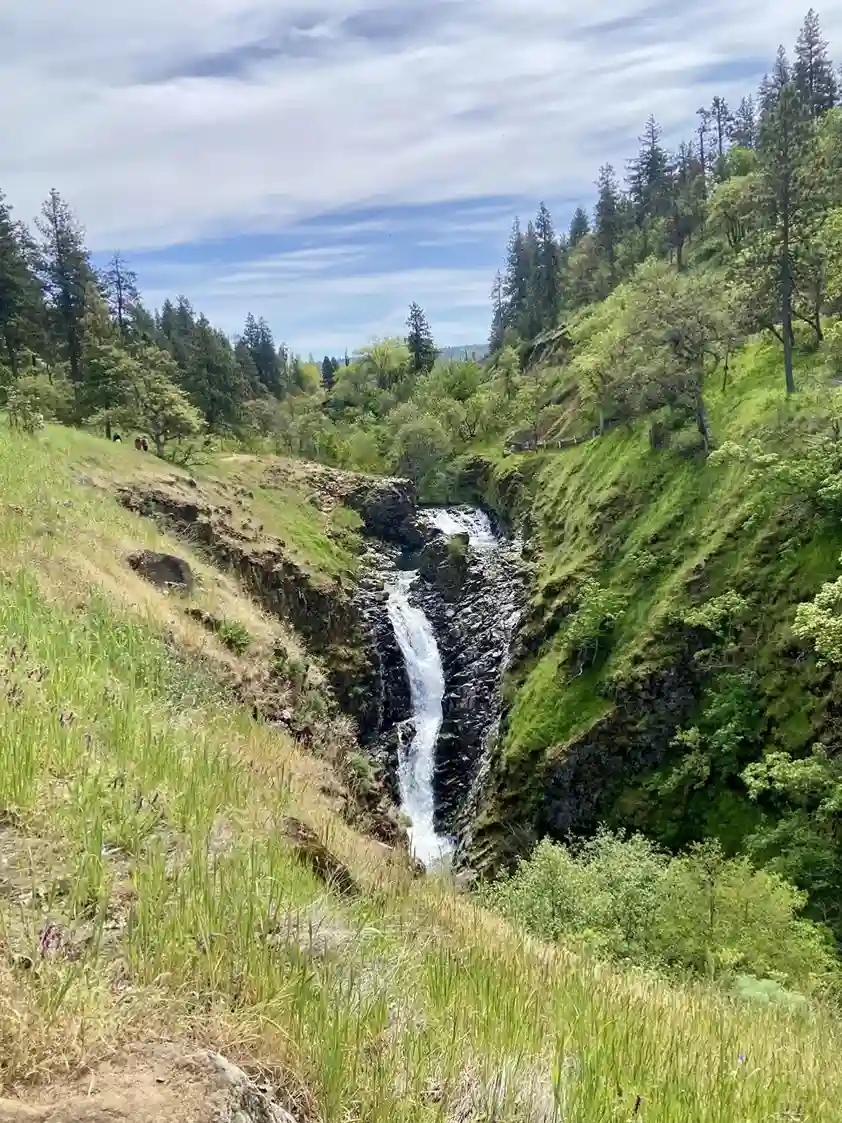
Mosier Creek Falls sits along the Mosier Plateau Trail near Hood River, and it doubles as a genuinely spectacular wildflower hike if you time it for late spring blooms before the swimming hole itself becomes the main event. It’s hike in, about 0.25 miles one-way, with no pass required, and it’s dog-friendly, with Port-a-potties at the parking lot. Drive time runs about 65 minutes.
The full loop is closer to a three-mile hike, but the falls themselves sit just a quarter mile from trailhead, or roughly 0.5 miles from parking lot if you take the shorter approach. It’s a genuinely picturesque waterfall, a two-tiered plunge with a swimmable pool between tiers. On the way up, the trail passes the Mosier Cemetery, with graves from 1800s still legible on some of the older stones — a quiet detour worth a few minutes even if you’re there mainly for the water.
Oxbow Regional Park (Bonus)
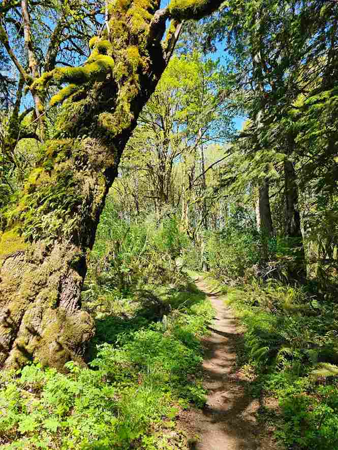
Oxbow Regional Park sits along the Sandy River, hike in: no, with maintained trails off the main lot. Entry runs a $5/day regional fee, payable by credit card at the park entrance; dogs not allowed, but there are full restrooms, picnic tables, BBQ grills, playgrounds, and lifejackets available near the ranger station. Drive time is about 35 minutes.
Like Lewisville upstream, there are real safety concerns here tied to planned changes in Sandy River management expected by the end of 2025, which locals say could bring different currents to parts of the park — approach with caution and check current postings before wading in. The park itself covers a genuine 1,000-acre park footprint, named for its natural oxbow U-shape bend in the river. On a hot day, the cooling water here still carries a trace of snow and glacial ice off Mt Hood even as the sunny riverbanks warm up around it — locals sometimes plan a full floating route with a car shuttle between here and Dabney State Park or the Lewis and Clark State Recreation Site downstream. A life jacket is smart regardless of how calm it looks.
Henry Hagg Lake
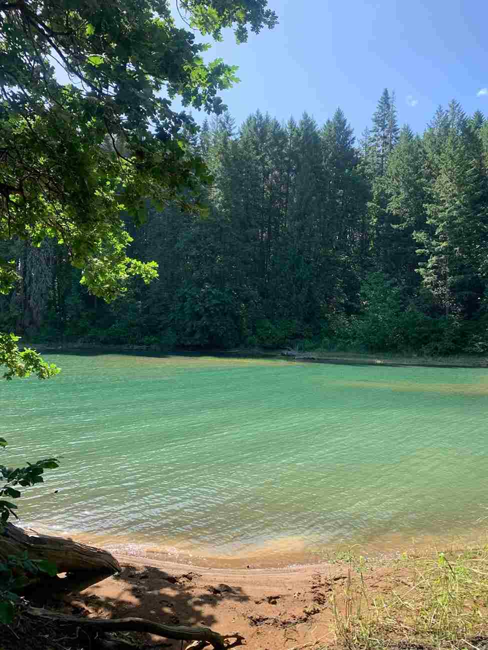
Henry Hagg Lake runs about 50 minutes out near Forest Grove, and yes, there are persistent stories about ghostly underwater cemeteries beneath the surface — mostly invalidated rumors, but they add a little atmosphere to the drive. It’s a sizeable 1,113-acre dammed lake built for recreational water sports, with picnic areas, over 15-plus miles hiking trails circling the shoreline, two boat launches, and enough fishing rods in the water on a Saturday to remind you this is as much an angling lake as a swimming one — people come back year after year chasing big trout.
Lost Lake
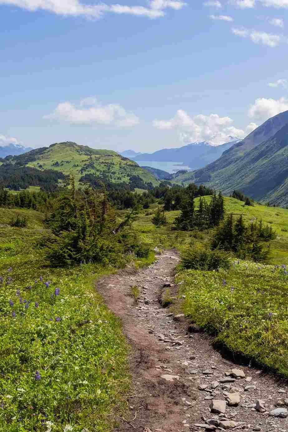
Lost Lake takes 2 hours drive time, and it feels genuinely isolated the moment you turn onto the 26 miles winding back roads that lead in — though it’s honestly accessible via good roads the whole way, just slow ones. Sitting on Hood’s slopes at roughly 3,100 feet elevation, it runs about 10 degrees cooler than the city, which is half the appeal, ringed by firs and pines around 167-foot-deep emerald waters.
There’s a real on-site resort here with cabins, yurts, A-frames, and campsites, mostly first come first served, plus paddleboats rental and an old-school 1950s-esque General Store for supplies. The classic Mt Hood view from the middle of lake is one of the more photographed shots in the state, made possible by a strict no motorized craft rule that keeps the water genuinely calm — a good pick for water-bound first-timers who want scenery without chop.
Wahtum Lake
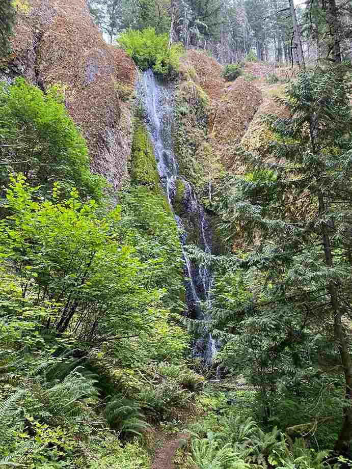
Wahtum Lake is another 2 hours drive time commitment, rewarded with real tranquility once you arrive. The last stretch runs along a paved road, then just a five-minute jaunt on foot into a densely forested lakeside retreat — no RVs, no motorboats, and it’s worth a road open check before you leave, since snow lingering into early summer sometimes closes the final approach, occasionally requiring a winding staircase down to the water’s edge.
The shoreline mixes hemlock, Pacific yew, and wild huckleberry around genuinely glassy waters, with a handful of lakeside campsites for anyone staying overnight. Hiking options here connect to the actual Pacific Crest Trail, including a four-mile round trip up Chinidere Mountain for a Mount Hood close-up that’s hard to beat.
Buck Lake
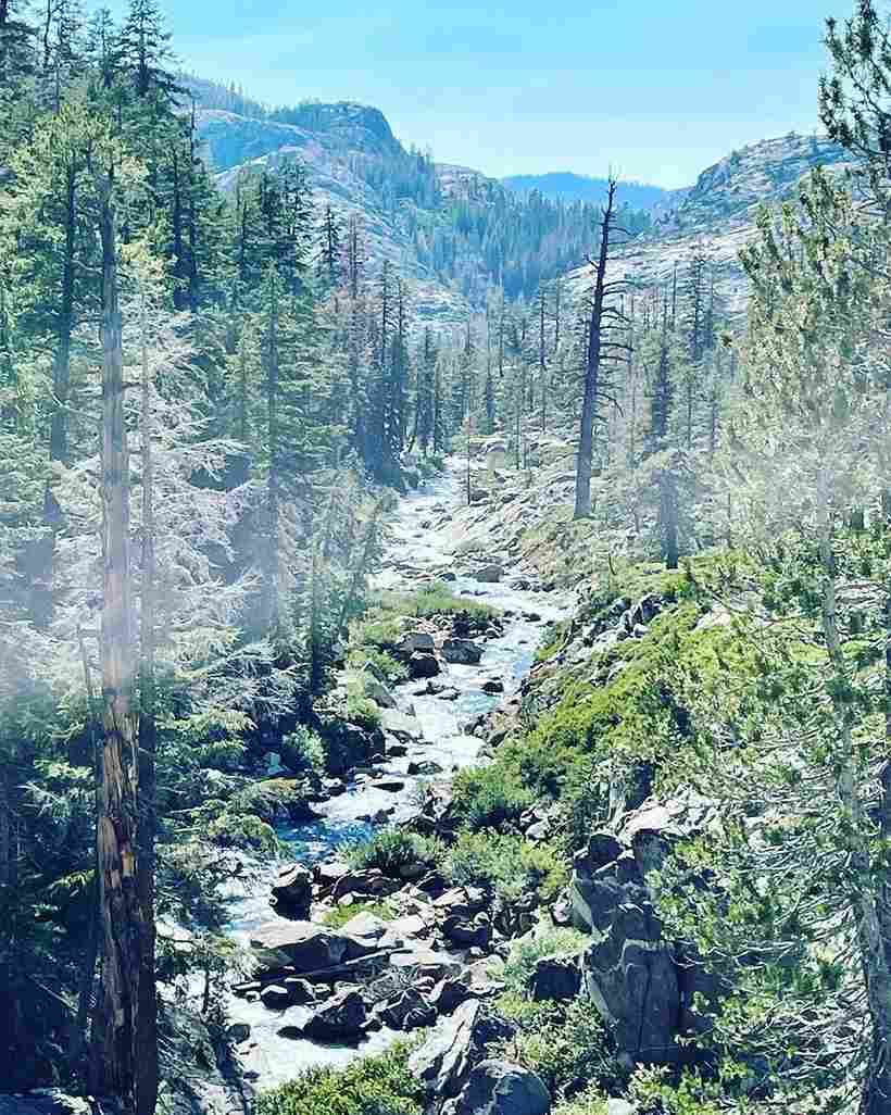
Buck Lake is a full 2 hours drive time, a genuinely pristine lake sitting 70 miles from downtown Portland at the end of corkscrewing Forest Service roads. It’s foot traversable only for the final approach, which keeps it secluded and largely unspoiled — a real stream-fed swimming hole ringed by old-growth fir stands, with croaking frogs and willow flycatchers providing the soundtrack.
The emerald waters here have genuine clear visibility down past rocks and sunken logs, plus enough fish to make it worth bringing a rod. A rocky section on one side serves as the best perch for jumping in, and if you bring a raft, the middle of lake is calm enough to just drift.
Boulder Lake
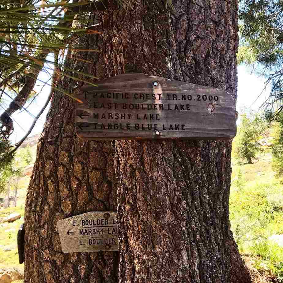
Boulder Lake rounds out the 2 hours drive time tier — genuinely remote, tucked into an evergreens thicket southeast of Mount Hood. The water sits uncommonly still most days, a small 13-acre pool ringed by loose scree slopes. There are rustic campsites and picnic tables on both the east shore and south shore if you want to make a full day of basking, swimming, and fishing rather than a quick day trip, with tent camping available for anyone chasing a stunning twilight over the water.
North Fork of the Willamette
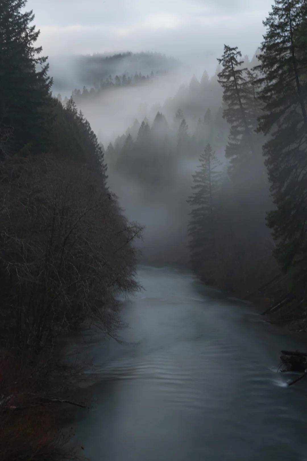
The North Fork of the Willamette is a real commitment at 2 hours 30 minutes drive time, but it’s swimming in a genuinely different river than the one downtown — a 187-mile artery that’s honestly too far for masses to bother with, which is exactly the point. Locals talk about a handful of sweet spots along mile markers 1.4 miles, 3.5 miles, and 11 miles, near the Westfir Covered Bridge in Lane County, where protected pools hold genuinely clear water around big boulders good for sunbathing and lounging. Thanks to its Eugene proximity, it does see busy periods, but there’s usually a secluded patch if you’re willing to walk a bit further from the main pullout.
Cleawox Lake
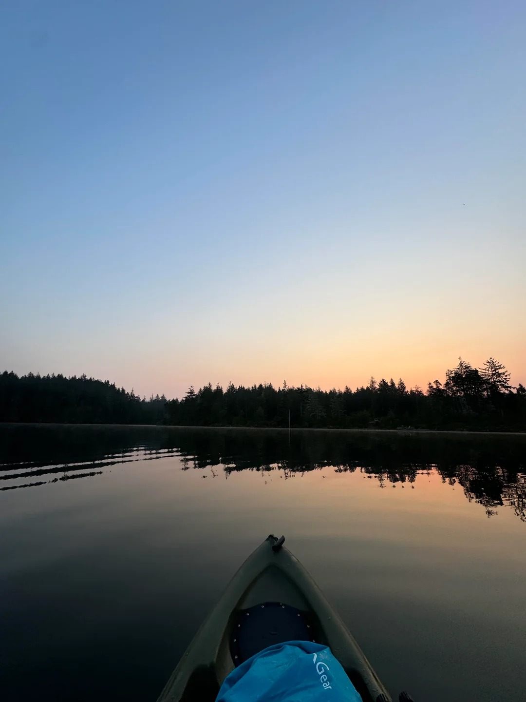
Cleawox Lake is a 3 hours drive time trip, but it’s built for families — ringed by coastal dunes and leafy forest, with a genuinely sandy-bottomed lake that stays warm thanks to good sun and shade balance. It sits inside the Oregon Dunes National Recreation Area, drawing swimmers, paddlers, and fishers after stocked trout dropped in during spring stocking. The sandy beach and roped-off shallow zone near the parking lot proximity make this genuine kid central territory every summer.
Waldo Lake
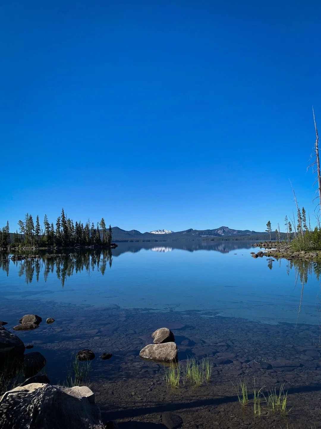
Waldo Lake is the furthest reach on this list, 3 hours 15 minutes drive time, with no phone service once you’re there — part of what makes it feel like a genuinely secluded basin. It’s counted among the purest alpine lakes in the state, sitting near the headwaters of the Middle Fork of the Willamette River. A 2010 gas motor ban cleared the way for only electric motors allowed, capped at a strict 10 mph speed limit, which keeps this 9.8-square-mile lake remarkably quiet — just bald eagle wings overhead, distant hermit warbler song, and the soft echo of paddle across genuinely clear blue waters.
George Rogers Park / Lake Oswego (incl. Mary S. Young Park)
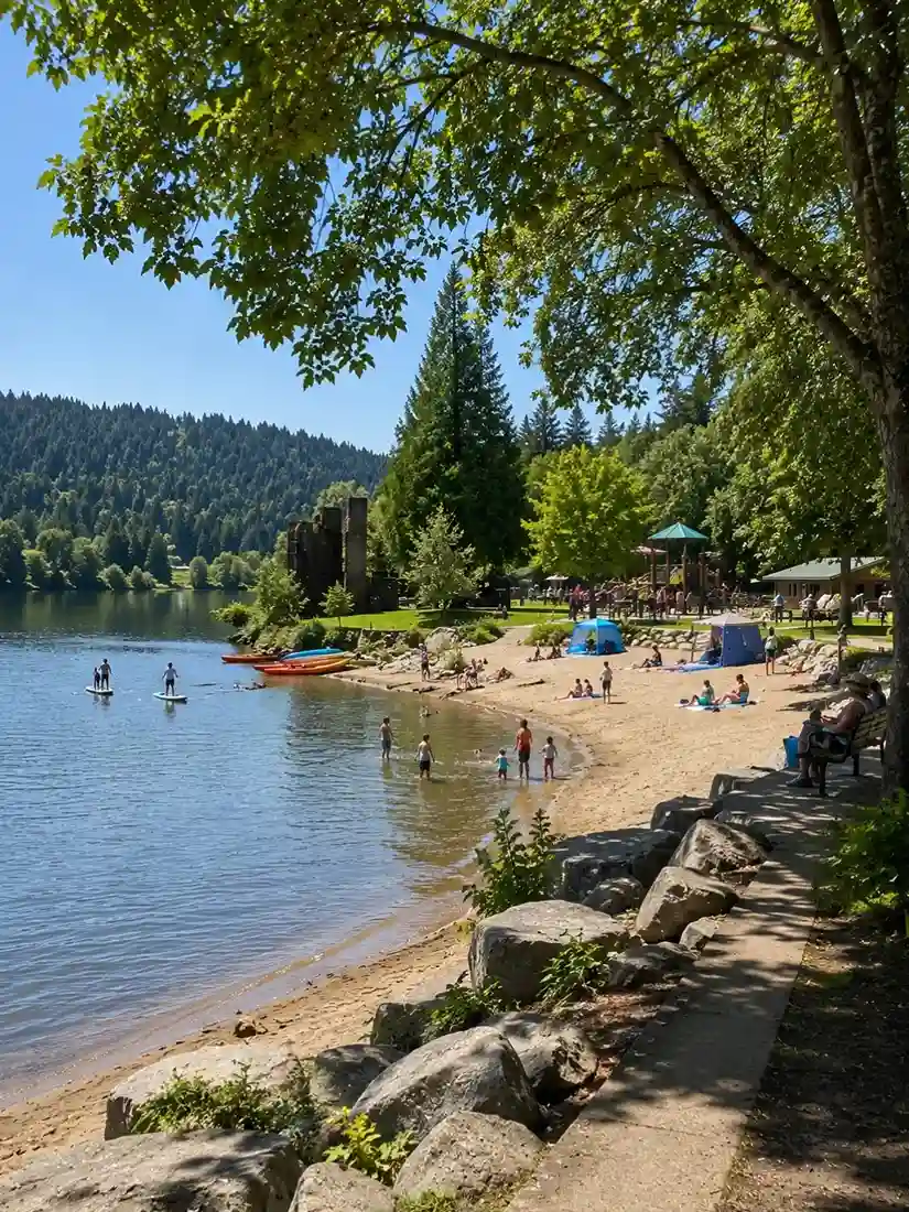
George Rogers Park in Lake Oswego, about 10 miles south of downtown Portland, is a compact 26-acre park built with kids and families in mind — a small welcoming beach with warm waters off the Willamette River, plus a memorial garden, walking trails, and a playground for anyone not swimming. Alder Creek nearby runs kayak rentals and stand-up paddleboard rentals, and the park’s historic iron furnace ruins are a genuine nod to the area’s industrial past.
Just down the road, Mary S. Young Park in West Linn offers a bigger, quieter alternative — a 128-acre park that functions more like a forested refuge, with 8 miles of trails that keep local birders busy year-round, including the paved Riverside Loop Trail. Afterward, Salt & Straw nearby does genuinely great handcrafted ice cream scoops — the cinnamon snickerdoodle and strawberry pretzel salad flavors are worth the trip on their own.
A Note on Staying Safe
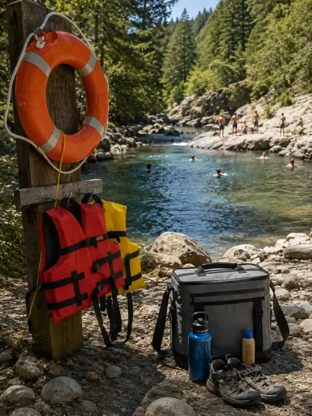
Cold water on hot days is the single biggest risk across every one of these spots — snowmelt-fed streams and rivers run colder than they look, and hypothermia signs can creep up on chilled swimmers even while the sun is actively warming the air above the water. At popular swimming holes, arrive early on hot weekend days if you want parking at all, and don’t skip the basics: sunscreen, water for long hikes, and comfortable shoes for walking to your lounging spot. An insulated cooler backpack for cold drinks earns its weight fast on these trips.
Mother Nature doesn’t hold to a schedule — changing conditions mean water levels surge and recede without much notice, shorelines drop off unexpectedly, and submerged rocks and debris move around from one visit to the next. Keep clear of motorized watercraft where rivers allow them, practice intoxicants avoidance around water, and put a properly fitted life jacket on anyone who needs one, especially for children safety — watching littles near moving water isn’t optional, and nobody should never swim alone in unfamiliar spots. Keep an eye on water-quality alerts for algae blooms, resist any pressured jumping into water you haven’t checked, and go at your own terms.
It’s worth saying plainly: some of these rivers are more deceptively dangerous than they look on a sunny afternoon. The Gresham Outlook ran a piece from a local intern a couple summers back cataloguing recent Sandy River deaths, most tied to cold fast-moving water, drinking near the bank, unattended kids, or plain peer pressure to jump somewhere unfamiliar. Respect the river currents, watch for wildfires and other weather events that can change conditions overnight, account for late season snow runoff, avoid closed roads blocked by rangers, brace for cold shock every single time, and always read the posted signs and local warnings before you get in — you’re there at your own risk, every time.